
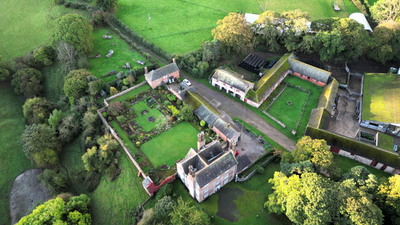
Garthgynan, building in Llanfair Dyffryn Clwyd, United Kingdom
Location: Llanfair Dyffryn Clwyd
Elevation above the sea: 100.7 m
GPS coordinates: 53.08870,-3.28138
Latest update: March 13, 2025 14:07


Ruthin Castle
3.3 km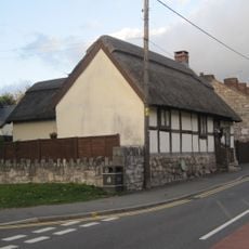
Rose Cottage, Ruthin
3.2 km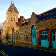
Ruthin Town Hall
3.1 km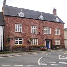
Plas Coch, Ruthin
3.2 km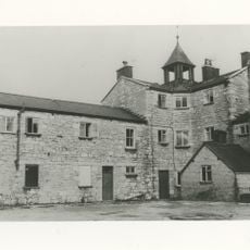
Ruthin Union Workhouse
3.1 km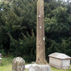
Churchyard Cross Shaft At St Meugan's Church
2.4 km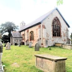
St Meugan's Church
2.4 km
Cefn Coch
1.8 km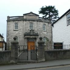
Pen-Dref Welsh Independent Chapel
3.3 km
Craig Adwywynt Camp
2.3 km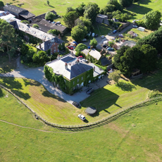
Sundial in the Churchyard of St Mary's Parish Church
2.6 km
Parish Church Of St Michael And All Angels
3.1 km
Church of St Cynfarch and St Mary
838 m
Craig Adwy-wynt a Choed Cil-y-groeslwyd
2.2 km
Moel y Plas
2.8 km
Moel y Waun
3.2 km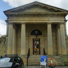
Ruthin Library
3.3 km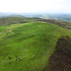
Moel Llanfair
2.9 km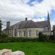
Tabernacl Chapel
3.3 km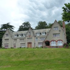
Scott House
3 km
Plas Einion
1.7 km
Pentrecelyn Hall
2.2 km
Jesus Chapel
1.7 km
Tunnel Bridge
3.1 km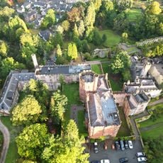
Ruthin Castle Hotel
3.3 km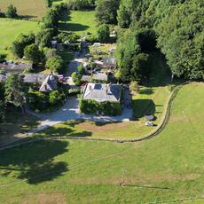
Bathafarn Hall
2.6 km
Plas-uchaf
3.2 km
Rhiw Chapel
2.5 kmReviews
Visited this place? Tap the stars to rate it and share your experience / photos with the community! Try now! You can cancel it anytime.
Discover hidden gems everywhere you go!
From secret cafés to breathtaking viewpoints, skip the crowded tourist spots and find places that match your style. Our app makes it easy with voice search, smart filtering, route optimization, and insider tips from travelers worldwide. Download now for the complete mobile experience.

A unique approach to discovering new places❞
— Le Figaro
All the places worth exploring❞
— France Info
A tailor-made excursion in just a few clicks❞
— 20 Minutes