
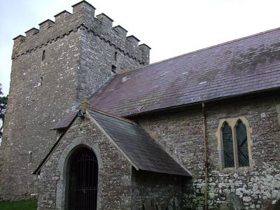
Church Of Saint Cynog, church at Merthyr Cynog
Location: Merthyr Cynog
Elevation above the sea: 319.6 m
GPS coordinates: 52.02610,-3.48100
Latest update: March 7, 2025 19:22
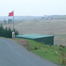
Sennybridge Training Area
6.1 km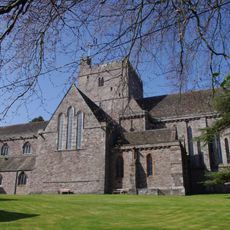
Brecon Cathedral
10.3 km
Mynydd Epynt
5.1 km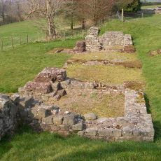
Brecon Gaer Roman Fort
8 km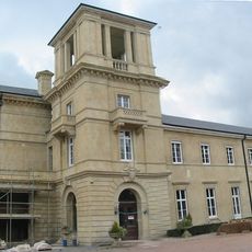
Penoyre House
7.2 km
Newton House
10.1 km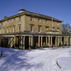
Penpont House
8.8 km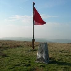
Cefn Trum yr Hwch
2.8 km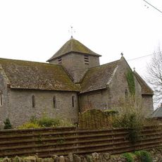
Church of Saint David
9.7 km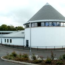
Priory Church in Wales School
10.3 km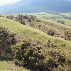
Pen-y-Crug
8.4 km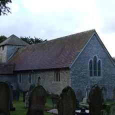
Church of St Dubricius
9.9 km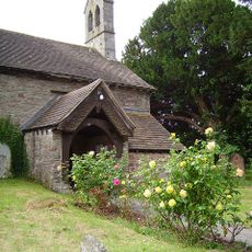
Church of St Cattwg
9.7 km
Corn y Fan
2 km
Church of Saint Teilo
9.3 km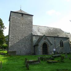
St Maelog's Church
7 km
Bettws Penpont Church
9 km
Church Of Saint David
7.2 km
Gaer Fach, Merthyr Cynog
2.6 km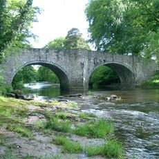
Pont Llwyncyntefin
10.2 km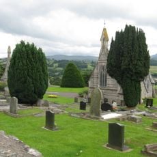
Cemetery Chapel (NW)
9.8 km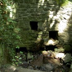
Priory Well
10.3 km
Aberbran Bridge / Pont Aberbran
8.3 km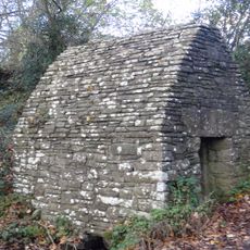
Maen-Du Well
9.5 km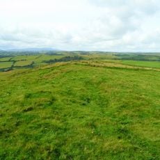
Caer Fach
2.6 km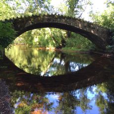
Bridge over Nant Bran near Aberbran-fach Farm
8.1 km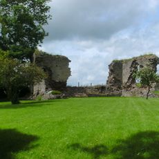
Llanddew Castle
9.7 km
Community Centre, including Boundary and Retaining Walls
10.2 kmVisited this place? Tap the stars to rate it and share your experience / photos with the community! Try now! You can cancel it anytime.
Discover hidden gems everywhere you go!
From secret cafés to breathtaking viewpoints, skip the crowded tourist spots and find places that match your style. Our app makes it easy with voice search, smart filtering, route optimization, and insider tips from travelers worldwide. Download now for the complete mobile experience.

A unique approach to discovering new places❞
— Le Figaro
All the places worth exploring❞
— France Info
A tailor-made excursion in just a few clicks❞
— 20 Minutes