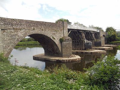
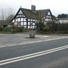
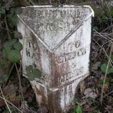
Whitney-on-Wye toll bridge, Historical toll bridge in Whitney-on-Wye, United Kingdom
This bridge over the River Wye connects Clifford to surrounding land and combines stone archways at both ends with a wooden center section supported by double pontoons. The mix of stone and wooden construction allows the structure to move with the river and remain stable during high water.
The first bridge at this location was built in 1780, but repeated floods destroyed early versions several times. The current form dating from 1797 has proven resilient against the river's forces since then.
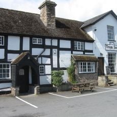
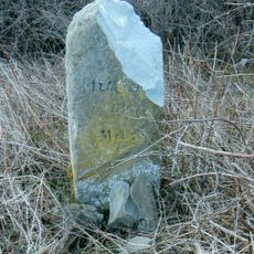
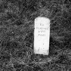
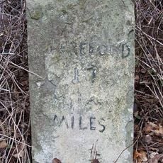
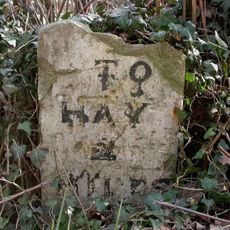
The toll house displays an original 1796 tariff board showing what crossing fees people once paid, revealing how long this passage has served the community. Today locals and visitors pass through this working crossing, and the current operator maintains the traditions of toll collection that have continued for generations.
Vehicles pay a small fee per crossing, and daily passes allow multiple trips without paying repeatedly. Access is available year-round, but extreme flood conditions may temporarily restrict crossing.
The bridge received a rare tax status when it was founded that sets it apart from most other private crossings. This advantage has allowed the owner to keep the operation going through the decades.
Location: Clifford
Location: Whitney-on-Wye
Website: http://whitneybridge.co.uk
GPS coordinates: 52.12029,-3.08383
Latest update: December 13, 2025 11:43
Clifford Castle and Barbican
2.3 km
The Rhydspence Inn
1.6 km
The Tram Inn
5.6 km
Church of St. Michael and All Angels
4 km
Church Of St Michael
3.5 km
Church of St Peter and St Paul, Whitney-on-Wye
847 m
Church of the Holy Trinity
3.8 km
Church of St Mary, Newchurch
5.4 km
Church of St.mary
1.8 km
Church of St Mary Magdalene, Eardisley
5.6 km
Church of Holy Trinity, Bettws
3.1 km
Methodist Chapel
2.2 km
Church of St Mary
2.5 km
Baskerville Arms Hotel, Clyro
5.7 km
Base Of Village Cross About 100 Yards West-North-West Of The Church Of St Michael
3.9 km
Milestone About 4130 Metres East South East Of Church Of St Mary
5 km
Great House including former barn range attached to right, Newchurch
5.3 km
Willersley Court
5.3 km
No.4 (The Three Tuns Ph) Broad Street
5.7 km
Magdalene House
5.3 km
Apostles Farmhouse
5.6 km
Cwmmau Farmhouse And Adjoining Cowhouse
4.1 km
Milestone, Willersley Court; 300m E
4.8 km
Milestone, Rhydspence
1.4 km
Milestone, 150m E of toll bridge
192 m
Milestone, Rock Coppice; 150m E Clifford turn against hedgerow
3.7 km
Milestone, Peny Park, top of East Hill
3.2 km
Milestone, Village
2.3 kmVisited this place? Tap the stars to rate it and share your experience / photos with the community! Try now! You can cancel it anytime.
Discover hidden gems everywhere you go!
From secret cafés to breathtaking viewpoints, skip the crowded tourist spots and find places that match your style. Our app makes it easy with voice search, smart filtering, route optimization, and insider tips from travelers worldwide. Download now for the complete mobile experience.
A unique approach to discovering new places❞
— Le Figaro
All the places worth exploring❞
— France Info
A tailor-made excursion in just a few clicks❞
— 20 Minutes