Simpson and Ashland, civil parish in Milton Keynes, Buckinghamshire, England
Location: City of Milton Keynes
GPS coordinates: 52.01423,-0.72413
Latest update: April 4, 2025 04:26
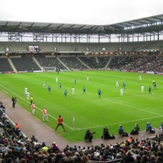
Stadium MK
825 m
Sanctuary Music Arena
1.1 km
Magiovinium
1.8 km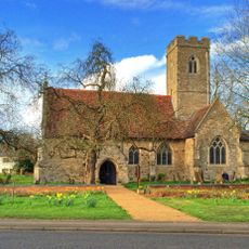
Church of St Thomas, Simpson
755 m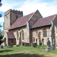
Church of St Mary
1.7 km
Church of St Martin
1.9 km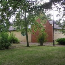
Christ the Vine
1.8 km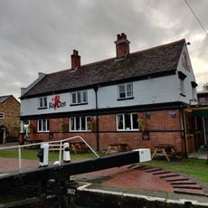
The Red Lion Public House
1.6 km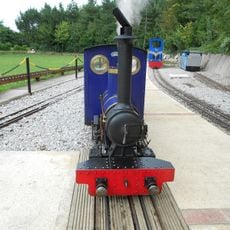
Caldecotte Miniature Railway
1.1 km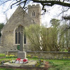
Simpson War Memorial Obelisk
728 m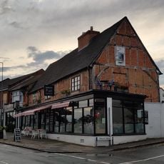
59, Aylesbury Street
1.9 km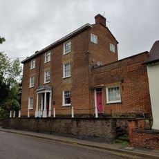
60, Watling Street
1.7 km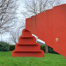
2Ms Series No.1 Sculpture
1.7 km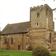
St Michael's Church Of The Open University
1.3 km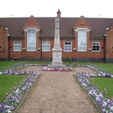
Bletchley Central War Memorial
2 km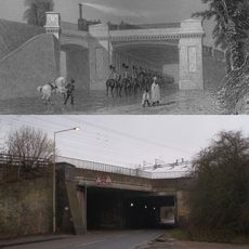
Denbigh Hall Railway Bridge
1.4 km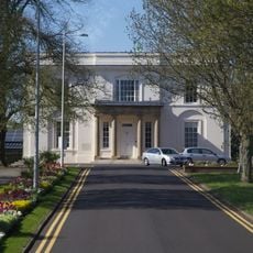
Walton Hall At The Open University
1.5 km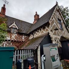
Fenny Stratford Station Building
1.7 km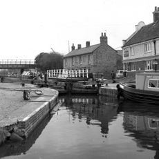
Lock
1.6 km
49 And 51, Aylesbury Street
1.9 km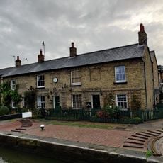
Lock View Pine View
1.7 km
Fenny Lodge Former Stable Block To Fenny Lodge
1.5 km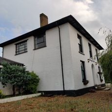
The Elms
2 km
Bollards Along Raised Terrace Of Number 60
1.7 km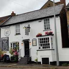
48, Watling Street
1.8 km
43, Aylesbury Street
2 km
Pump House
1.6 km
11 And 13, Watling Street
1.9 kmVisited this place? Tap the stars to rate it and share your experience / photos with the community! Try now! You can cancel it anytime.
Discover hidden gems everywhere you go!
From secret cafés to breathtaking viewpoints, skip the crowded tourist spots and find places that match your style. Our app makes it easy with voice search, smart filtering, route optimization, and insider tips from travelers worldwide. Download now for the complete mobile experience.

A unique approach to discovering new places❞
— Le Figaro
All the places worth exploring❞
— France Info
A tailor-made excursion in just a few clicks❞
— 20 Minutes