Eaton and Alsop, civil parish in Derbyshire Dales district, Derbyshire, England
Location: Derbyshire Dales
Shares border with: Hartington Nether Quarter, Newton Grange, Parwich
GPS coordinates: 53.09600,-1.76200
Latest update: March 3, 2025 07:52

Parwich Hall
2.7 km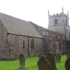
Church of St Peter
2.8 km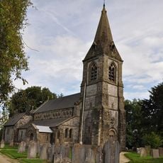
Church of St Peter
3 km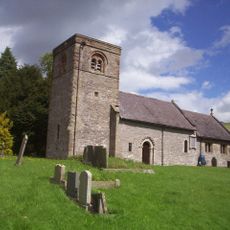
St Michael and All Angels’ Church, Alsop-en-le-Dale
323 m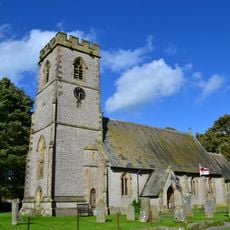
Church of St Thomas
3.9 km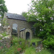
Methodist Chapel and attached wall and railings
2.7 km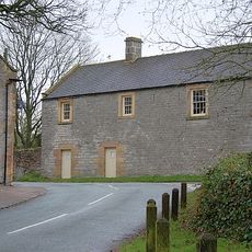
Former Coach House, Stables And Accommodation For Grooms Approximately 30 Yards North West Of The George
2.9 km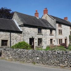
Church Cottage and Church Gate House
3 km
Parwich Lees
1.4 km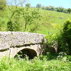
Viator's Bridge
2.3 km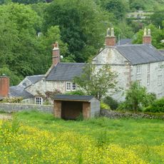
Flatts Stile Farmhouse
2.8 km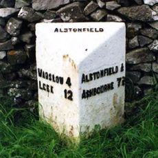
Milepost Approximately 100 Yards North West Of The Hollows
3.3 km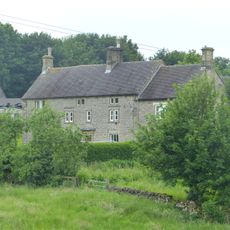
Newton Grange Farmhouse
2 km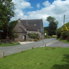
Chapel Farm House
2.9 km
Moat Low bowl barrow
1.5 km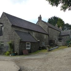
Sharplow Farmhouse and attached outbuildings
2.9 km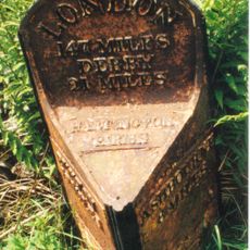
Milepost 14 Metres South Of Mount Pleasant Farm At Ngr Sk 167 582
2.8 km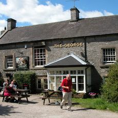
The George Inn
2.9 km
Milepost Approximately 100 Yards South East Of Lode House
1.9 km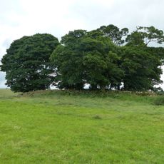
Sharp Low bowl barrow
2.6 km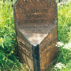
Mile post half a mile south of The New Inn at NGR 161 541
1.4 km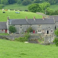
Shaws Farmhouse
2.8 km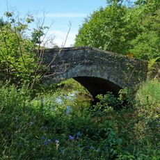
Lode Mill Bridge
1.5 km
Boars Low bowl barrow
3 km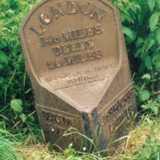
Mile Post 250 Yards North Of Junction With Liffs Road At Ngr 162 567
1.3 km
Green Farmhouse
3.1 km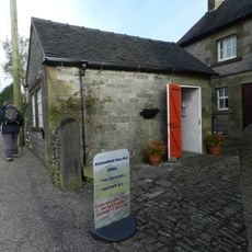
Alstonefield Geohut
3.2 km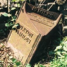
Milepost, Greenlowfield
735 mVisited this place? Tap the stars to rate it and share your experience / photos with the community! Try now! You can cancel it anytime.
Discover hidden gems everywhere you go!
From secret cafés to breathtaking viewpoints, skip the crowded tourist spots and find places that match your style. Our app makes it easy with voice search, smart filtering, route optimization, and insider tips from travelers worldwide. Download now for the complete mobile experience.

A unique approach to discovering new places❞
— Le Figaro
All the places worth exploring❞
— France Info
A tailor-made excursion in just a few clicks❞
— 20 Minutes