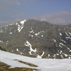
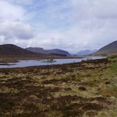
Loch Glascarnoch, 1957 reservoir in Highland, Scotland, UK, outflows to Glascarnoch River
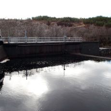
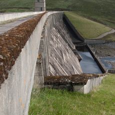
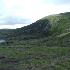
Loch Glascarnoch is a long, narrow reservoir in the Scottish Highlands surrounded by rolling hills and open moorland. The water is held back by a substantial dam at its eastern end, which channels water through tunnels to a power station for electricity generation.
The reservoir was created in 1957 as part of a broader plan to generate electricity for the region, permanently changing the natural landscape. The creation submerged old farmhouses and bridges that occasionally reappear when water levels drop in certain seasons.
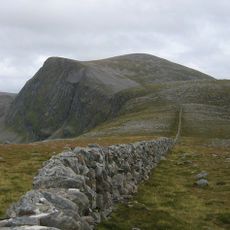
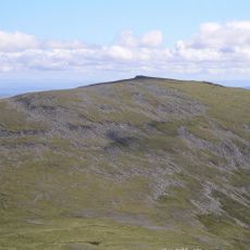
The name comes from Gaelic and refers to the green moorland surrounding the water. Visitors can see today how people use this space as a quiet stopping point while traveling through the Highlands.
The site sits directly on the A835 road between Inverness and Ullapool, making it easy to access as a roadside stop while driving through the Highlands. Visitors can walk along the shoreline and take in the views, though they should prepare for variable weather conditions typical of the region.
During dry summers when water levels drop, submerged ruins of old farmhouses and bridges from before the reservoir was built become visible, reminding visitors of the communities displaced by the flooding. These reappearing remains offer a rare glimpse into the human history lying beneath the water surface.
The community of curious travelers
AroundUs brings together thousands of curated places, local tips, and hidden gems, enriched daily by 60,000 contributors worldwide.