
Paul, civil parish in Cornwall, England
Location: St Buryan, Lamorna and Paul
GPS coordinates: 50.08382,-5.55989
Latest update: March 3, 2025 23:01
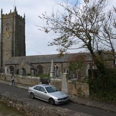
St Pol de Léon's Church, Paul
1.2 km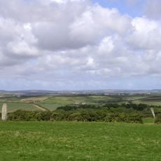
Boleigh Fogou
2.1 km
Round, courtyard house, stone hut circle settlement and field system 275m north of Castallack Carn
1.3 km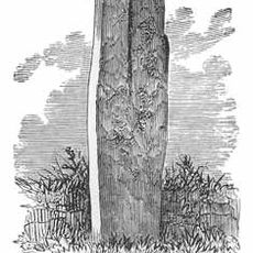
Tresvennack Pillar
1.9 km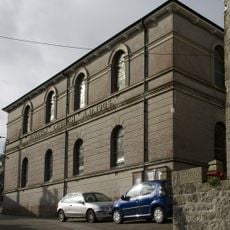
Church of St Clement (methodist )
1.5 km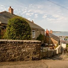
16-18, Church Street
2.1 km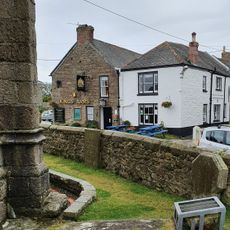
King's Arms Inn
1.1 km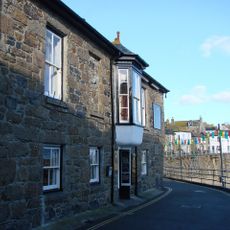
The Ship Inn
1.5 km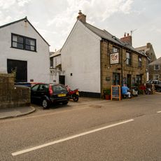
The Red Lion Inn
2.2 km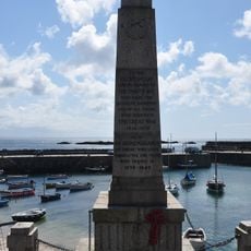
Mousehole Cenotaph
1.5 km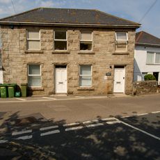
39 Fore Street
2.2 km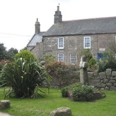
Kerris Manor Farmhouse Including Front Garden Walls And Rear Courtyard Walls
1.3 km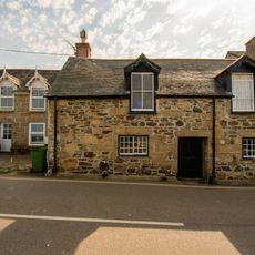
64 And 68, Fore Street
2.2 km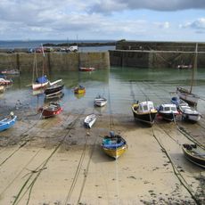
Harbour Piers And Walls
1.6 km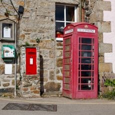
K6 telephone kiosk
1.5 km
6-8, Trewarveneth Street
2.2 km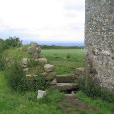
Cross At Sw4611725135 (Kemyel Drea Cross)
1.5 km
High Mountains
2.2 km
Manor House
2.2 km
3 And 4, Trewarveneth Street
2.2 km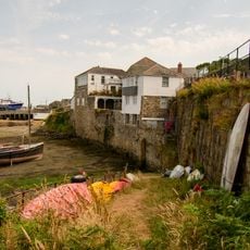
35, Fore Street
2.2 km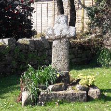
Kerris Cross
1.3 km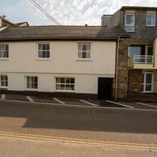
54 And 54A, Fore Street
2.2 km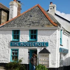
The Mousehole
1.6 km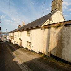
The Old Manor
2.2 km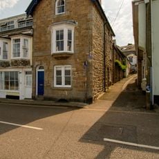
2, Boase Street
2.2 km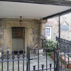
Keigwin Little Keigwin
1.5 km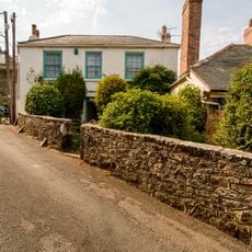
Rosecot
2.1 kmReviews
Visited this place? Tap the stars to rate it and share your experience / photos with the community! Try now! You can cancel it anytime.
Discover hidden gems everywhere you go!
From secret cafés to breathtaking viewpoints, skip the crowded tourist spots and find places that match your style. Our app makes it easy with voice search, smart filtering, route optimization, and insider tips from travelers worldwide. Download now for the complete mobile experience.

A unique approach to discovering new places❞
— Le Figaro
All the places worth exploring❞
— France Info
A tailor-made excursion in just a few clicks❞
— 20 Minutes