
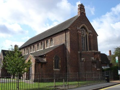
St Faith's Church, Nottingham, church in Nottingham, England
Location: Nottingham
Inception: October 16, 1915
Architects: Ernest Richard Eckett Sutton
GPS coordinates: 52.93793,-1.14426
Latest update: March 3, 2025 15:44
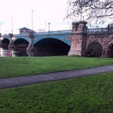
Trent Bridge
512 m
County Hall, Nottinghamshire
592 m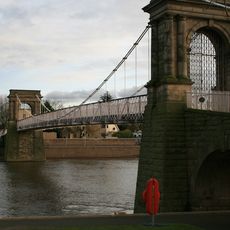
Wilford Suspension Bridge
623 m
Wilford Toll Bridge
694 m
City War Memorial
463 m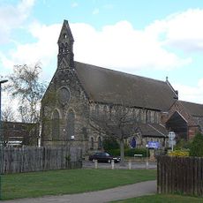
St George in the Meadows
834 m
St Saviours in the Meadows, Nottingham
494 m
Queen's Walk Congregational Church
675 m
West Bridgford Methodist Church
974 m
Friary United Reformed Church
812 m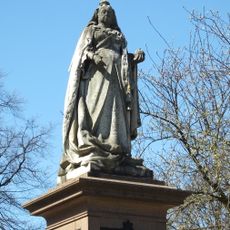
Statue of Queen Victoria in Memorial Gardens
394 m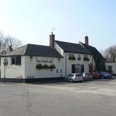
Ferry Inn
934 m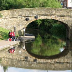
Bridge Over Canal
474 m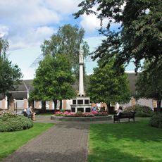
West Bridgford War Memorial
798 m
Statue of Sir Robert Juckes Clifton 50 Metres East of Wilford Bridge
649 m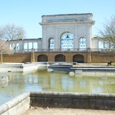
Ornamental Pond In Memorial Gardens
425 m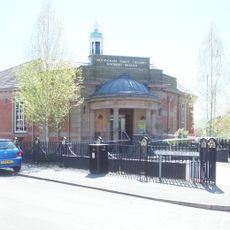
Meadows Library
384 m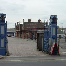
Cattle Market Gate And Gate Piers
903 m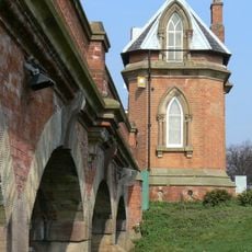
Wilford Bridge Toll House
665 m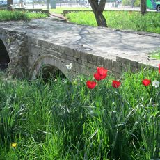
Old Trent Bridge
619 m
The Embankment (Former Boots Store No 2)
394 m
Meadow Mill
905 m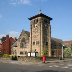
Boundary Wall And Gates At Musters Road Methodist Church
969 m
Footbridge Over River Trent (That Part In Nottingham Civil Parish)
609 m
Bandstand
536 m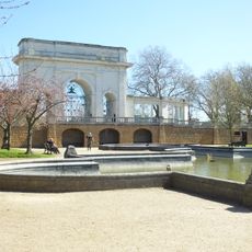
Terrace Wall On East Side Of Memorial Gardens
449 m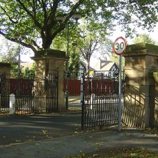
Gateways And Screens At North End Of Embankment
396 m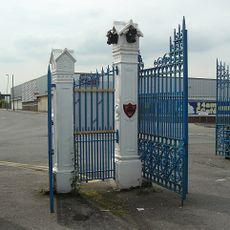
Cattle Market Gate And Gate Piers
804 mVisited this place? Tap the stars to rate it and share your experience / photos with the community! Try now! You can cancel it anytime.
Discover hidden gems everywhere you go!
From secret cafés to breathtaking viewpoints, skip the crowded tourist spots and find places that match your style. Our app makes it easy with voice search, smart filtering, route optimization, and insider tips from travelers worldwide. Download now for the complete mobile experience.

A unique approach to discovering new places❞
— Le Figaro
All the places worth exploring❞
— France Info
A tailor-made excursion in just a few clicks❞
— 20 Minutes