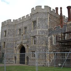
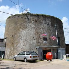
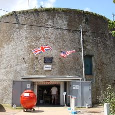
Mersea Fort, 16th-century artillery fort in East Mersea, England.
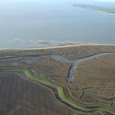
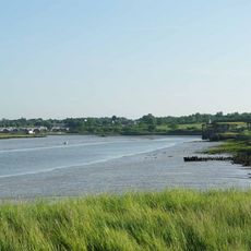
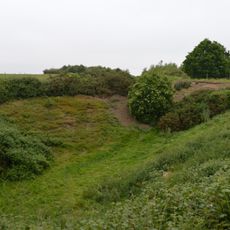
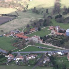
Mersea Fort is a 16th-century triangular fortification in East Mersea featuring three circular bastions positioned at each corner and earthwork walls extending along the shoreline. The remains of this original defensive structure are visible today near the current sea wall, where archaeological work between 2002 and 2003 partially revealed the layout.
King Henry VIII ordered the construction of this fort in 1543 as part of the Device Forts program to protect England from French and Holy Roman Empire invasions. It was one of many such fortifications built along the English coast during this period to strengthen the nation's coastal defenses.
This site served as an admiralty court overseeing the regional oyster trade until operations moved to Colchester's Moot Hall in the mid-18th century. The connection to maritime commerce shaped local economic life and made the location an important administrative center for the region.
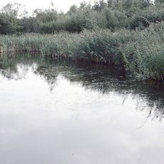
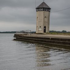
The site is located along the coast and is best visited at high tide when the earthwork structures are more clearly visible. Walking paths run along the shoreline and offer good views of the surviving remains of the fortification.
The garrison consisted of only five military personnel and six artillery gunners who controlled the strategic approach to the River Colne leading to Colchester. This small team nevertheless blocked river traffic and made the location a vital point in regional defense despite its modest size.
The community of curious travelers
AroundUs brings together thousands of curated places, local tips, and hidden gems, enriched daily by 60,000 contributors worldwide.