
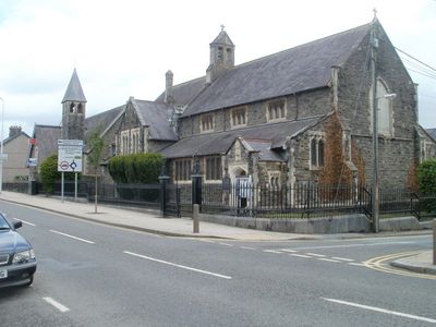
Eglwys Sant Ioan, church in Carmarthen, Wales
Location: Carmarthen
Elevation above the sea: 22.2 m
GPS coordinates: 51.85947,-4.30003
Latest update: May 4, 2025 00:56

Merlin's Oak
148 m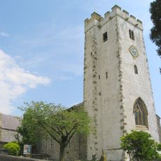
St Peter's Church
244 m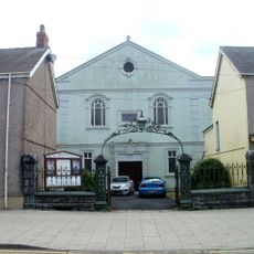
Penuel Baptist Chapel
66 m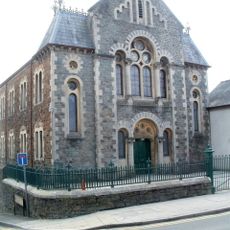
Priory Street Welsh Independent Chapel
186 m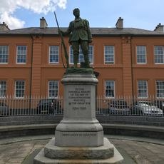
Carmarthenshire War Memorial
88 m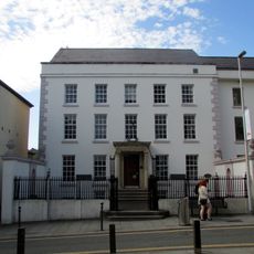
Carmarthen Library
282 m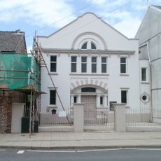
Bethania Chapel
84 m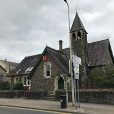
Former Priory Street School with walls and railings
32 m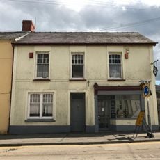
1, Priory Street, Carmarthen
180 m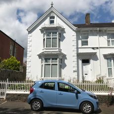
Bryn Roma, including front garden wall, railings and gate
125 m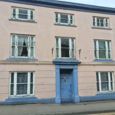
No.144 Priory Street, Carmarthen
178 m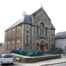
Forecourt rails, gates and piers to Capel Y Priody
194 m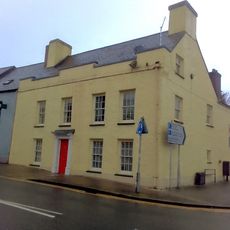
Oak House
140 m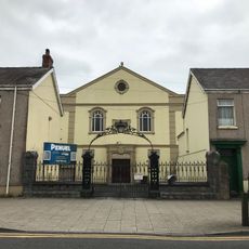
Entrance gates and rails to Penuel Baptist Chapel
68 m
13, St Peter's Street, Carmarthen
201 m
Tŷ Carwyn, including forecourt railings
264 m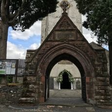
Lychgate to St Peter's Churchyard
277 m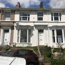
2, The Esplanade, Carmarthen
140 m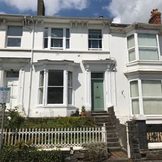
No 1 including front wall, railings and gate.
143 m
No 3 including front wall, railings and gate.
138 m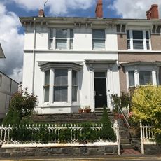
No 4, including front garden wall, railings, gate and back garden wall
135 m
No 6, including front garden wall, gate and railings
129 m
No 7 including front garden wall, gate and railings
127 m
No 8, including front garden wall, gate and railings
126 m
The Limes, including front garden wall, railings and gate
131 m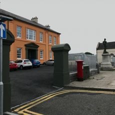
Gatepiers at entrance to former Infirmary
88 m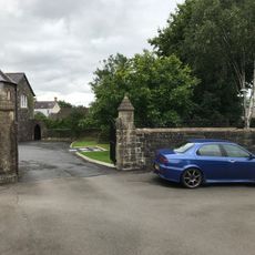
Walls, gates, piers and railings to The Vicarage
205 m
Former Carmarthenshire Infirmary
90 mReviews
Visited this place? Tap the stars to rate it and share your experience / photos with the community! Try now! You can cancel it anytime.
Discover hidden gems everywhere you go!
From secret cafés to breathtaking viewpoints, skip the crowded tourist spots and find places that match your style. Our app makes it easy with voice search, smart filtering, route optimization, and insider tips from travelers worldwide. Download now for the complete mobile experience.

A unique approach to discovering new places❞
— Le Figaro
All the places worth exploring❞
— France Info
A tailor-made excursion in just a few clicks❞
— 20 Minutes