
5, Main Road, building in Cherhill, Wiltshire, UK
Location: Cherhill
Address: 5, Main Road, Cherhill, Wiltshire, SN11
GPS coordinates: 51.42939,-1.94857
Latest update: March 16, 2025 06:47
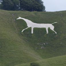
Cherhill White Horse
1.4 km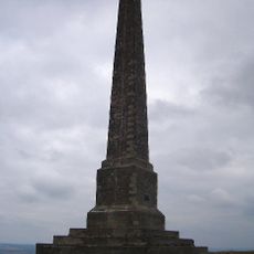
Lansdowne Monument
1.3 km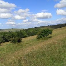
Morgan's Hill
3 km
Church of St Mary
3.9 km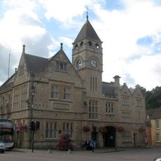
Town Hall
4 km
The Green
3.8 km
Church of St James
300 m
Church of the Holy Trinity
3.4 km
Church of St Peter
2.5 km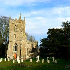
Church of All Saints
3 km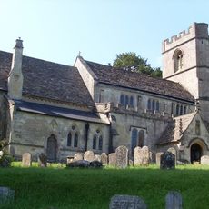
Church of St Swithin
1.7 km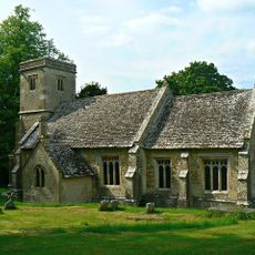
Church of St Mary
2.1 km
Ten barrows forming part of Fox Covert round barrow cemetery, West Down.
4 km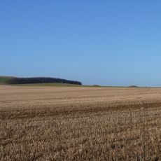
Eleven round barrows 1000m north of Baltic Farm forming part of a barrow cemetery, and a probable enclosed Iron Age farmstead on
2.5 km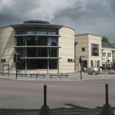
Calne Library
4 km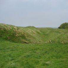
Oldbury Camp
1.5 km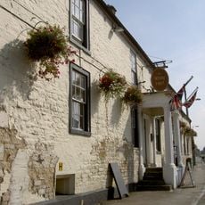
White Hart Hotel
3.8 km
Blackland Park
2.5 km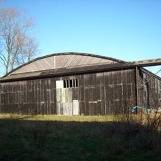
Two Former Hangars On North Side Of Former Airfield
2.1 km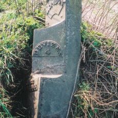
Milestone Approximately 200 Metres South Of The Wansdyke
4 km
Milestone 500 Metres South Of Three Barrows
3.3 km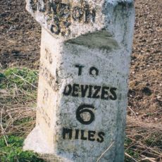
Milestone Approximately 380 Metres South Of Turn To Beckhampton Buildings
3.8 km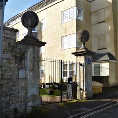
Castle House
4.1 km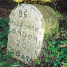
Milestone On South Side Opposite Number 327 Quemerford
2.2 km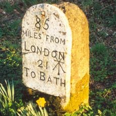
Milestone Opposite Nos 1 And 2
612 m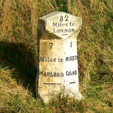
Milestone Approximately 0.75 Miles West Of The Beckhampton Roundabout
4.1 km
Gate Piers To Castlefield House
4.2 km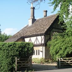
Tudor Lodge
1.7 kmReviews
Visited this place? Tap the stars to rate it and share your experience / photos with the community! Try now! You can cancel it anytime.
Discover hidden gems everywhere you go!
From secret cafés to breathtaking viewpoints, skip the crowded tourist spots and find places that match your style. Our app makes it easy with voice search, smart filtering, route optimization, and insider tips from travelers worldwide. Download now for the complete mobile experience.

A unique approach to discovering new places❞
— Le Figaro
All the places worth exploring❞
— France Info
A tailor-made excursion in just a few clicks❞
— 20 Minutes