
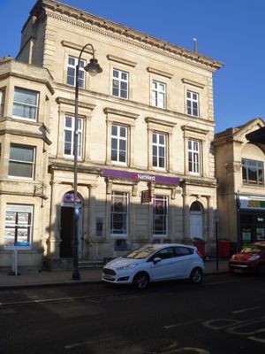
62, Fore Street, building in Trowbridge, Wiltshire, UK
Location: Trowbridge
Address: 62, Fore Street, Trowbridge, Wiltshire, BA14
GPS coordinates: 51.32146,-2.20842
Latest update: March 8, 2025 07:23
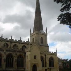
Parish Church of St James, Trowbridge
69 m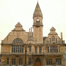
Trowbridge Town Hall
182 m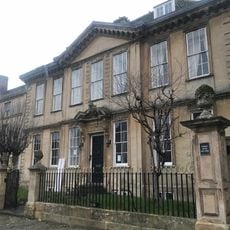
Parade House
104 m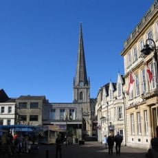
Trowbridge Castle
201 m
Polebarn House
321 m
The Tabernacle, United Reformed Church
131 m
Emmanuel Baptist Church With Archway At North West End
171 m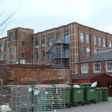
Trowbridge Museum
114 m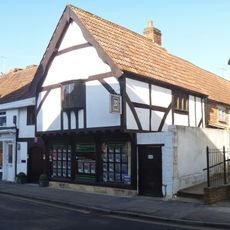
9, Church Street
142 m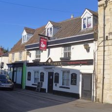
The White Swan Public House
172 m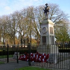
Trowbridge War Memorial
279 m
The Sun Public House
58 m
Midland Bank
99 m
No 44, Former White Hart Public House
120 m
Conigre Parsonage
259 m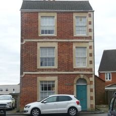
25, Conigre
297 m
Union Street Almshouses
123 m
Handle House At Studley Mills
222 m
Waldron's Square
261 m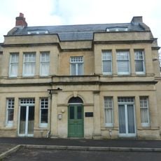
Beechwood
306 m
Westcroft
260 m
Lloyd's Bank
22 m
Building To North West Of Westcroft
285 m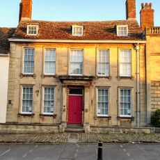
Arlington House
125 m
Stable Block To Westcroft
256 m
Entrance Screen To The Tabernacle
96 m
55-57, Stallard Street
281 m
Lovemead House
300 mReviews
Visited this place? Tap the stars to rate it and share your experience / photos with the community! Try now! You can cancel it anytime.
Discover hidden gems everywhere you go!
From secret cafés to breathtaking viewpoints, skip the crowded tourist spots and find places that match your style. Our app makes it easy with voice search, smart filtering, route optimization, and insider tips from travelers worldwide. Download now for the complete mobile experience.

A unique approach to discovering new places❞
— Le Figaro
All the places worth exploring❞
— France Info
A tailor-made excursion in just a few clicks❞
— 20 Minutes