Dunkerton and Tunley, civil parish in Bath and North East Somerset, Somerset, England
Location: Bath and North East Somerset
GPS coordinates: 51.33300,-2.41700
Latest update: April 6, 2025 17:37
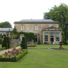
Camerton Court
2.9 km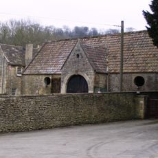
Combe Hay Manor
2.5 km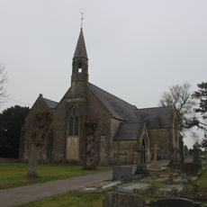
St John's Church, Peasedown St John
2.2 km
Church of St Peter, Englishcombe
3.5 km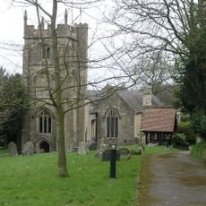
Church of St Peter, Camerton Park
3.1 km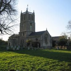
Church of St Luke and St Andrew, Priston
1.9 km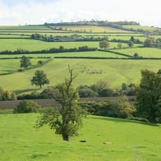
Duncorn Hill
2.4 km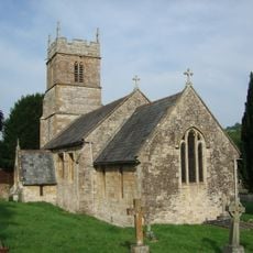
Church of All Saints, Dunkerton
143 m
Priston Mill And Attached Pond, Dam And Walls
2.6 km
Red Post Inn
2.5 km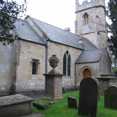
Combe Hay Parish Church
2.5 km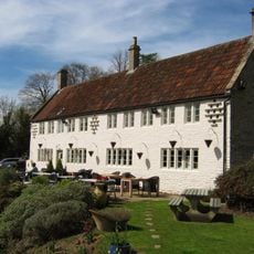
The Wheatsheaf
2.7 km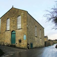
Withyditch Baptist Chapel
726 m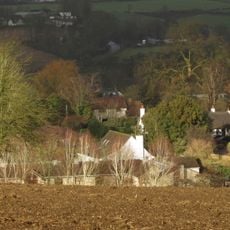
Thatched Cottage
3.2 km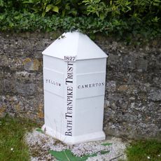
Boundary Marker About 10 Metres South West Of Red Post Inn
2.6 km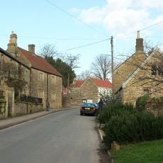
Weaver's Farmhouse
3.1 km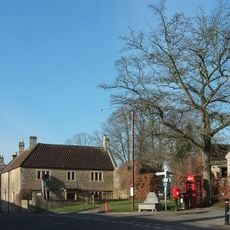
K6 Telephone Kiosk By Memorial Trough
3.1 km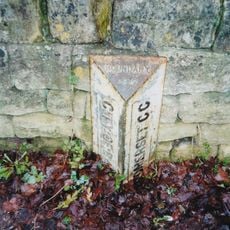
Group Of 3 Boundary Posts On A367,At Junction With Combe Hay Lane,At National Grid Reference St 7345 6187
3.4 km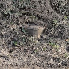
Boundary Post At Ngr St 7183 6049
1.4 km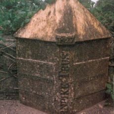
Boundary Post On A367 At Dunkerton Bridge National Grid Reference St 7156 5932
529 m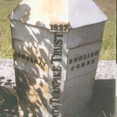
Boundary Post On A367 At National Grid Reference St 7338 6167
3.4 km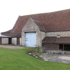
Tithe Barn Attached To South End Of Rectory Farmhouse
3.5 km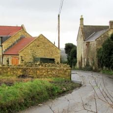
Tunley Farmhouse
2.5 km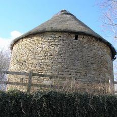
Dovecote, 100 Yards To Rear Of Manor House
3.2 km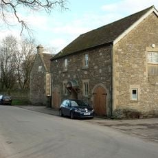
Wellow Farmhouse
3.1 km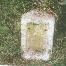
Milestone At Ngr St 7182 6040
1.3 km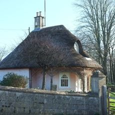
The Lodge
2 km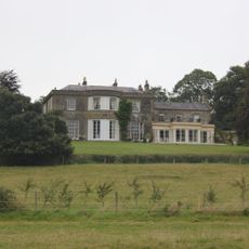
Parish's House
3.8 kmVisited this place? Tap the stars to rate it and share your experience / photos with the community! Try now! You can cancel it anytime.
Discover hidden gems everywhere you go!
From secret cafés to breathtaking viewpoints, skip the crowded tourist spots and find places that match your style. Our app makes it easy with voice search, smart filtering, route optimization, and insider tips from travelers worldwide. Download now for the complete mobile experience.

A unique approach to discovering new places❞
— Le Figaro
All the places worth exploring❞
— France Info
A tailor-made excursion in just a few clicks❞
— 20 Minutes