RNAS St Merryn, Former Royal Naval Air Service station in St Merryn, Cornwall, United Kingdom
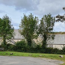
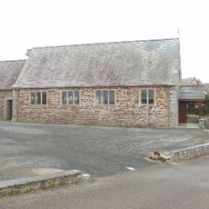
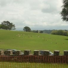
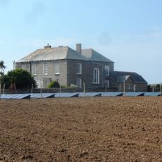
RNAS St Merryn is a former Royal Naval Air Service station in St Merryn, Cornwall, featuring multiple asphalt runways and military infrastructure set in elevated terrain near the coast. The site maintains the physical structure of an airfield with various aircraft parking areas and hangars that date from its operational period.
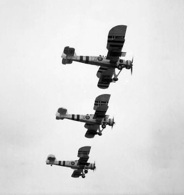
The station was established in 1937 and became involved in World War II, experiencing heavy attacks in October 1940 that caused significant damage to the facility. After the war, its military importance declined and operations ceased in 1956, leading to civilian reuse of the site.
The site reflects the importance of naval aviation in Britain's defense, and visitors can sense how this military presence shaped local life during its active years. The location shows the connection between this airfield and the surrounding community that depended on its operations.
The site is set in hilly open countryside and is best explored on foot or by car, especially in dry conditions. Visitors should note that there are few shaded areas and coastal weather can change quickly.
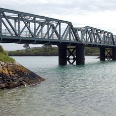
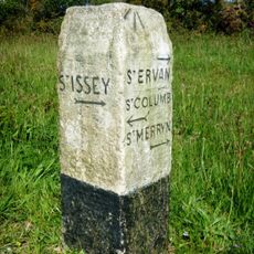
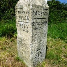
The runway construction required large quantities of stone that was transported by sea from nearby Stepper Point to supply the remote location. This unusual approach shows how challenging it was to build a military base in this part of coastal Cornwall.
Location: St Merryn
Part of: airstrip
GPS coordinates: 50.50417,-4.97778
Latest update: December 12, 2025 17:48
Porthcothan beach
3.5 km
Church of St Petroc, Padstow
4.8 km
Church of St Uvelus
2.8 km
Church of St Petroc Minor
3 km
Church of St Merryn
2.8 km
Church of St Hermes, St Ervan
1.1 km
Church of St Ida
3.9 km
Pentire Steps Beach
4.3 km
St Saviour
4.3 km
Little Petherick Creek bridge
4.4 km
Milestone 50 Metres To South East Of Tregonna
2.7 km
RAF St Eval WWII Memorial
2.8 km
40, High Street
4.8 km
Porthmissen Farmhouse And Garden Walls To Front
4.8 km
Milestone To South Of Trecerus
4 km
Harlyn House
4.1 km
Sea Mills House And Garden Wall And Gates To South West And North West
3.9 km
Walls Enclosing The Gardens To South And East Of Prideaux Place, Flanking The South Entrance And Continuing South From The Mock Fortifications
4.8 km
Guidepost At Sw 89256765
3.7 km
Milestone 100M Sw Of Treravel
2.7 km
Milestone 250 Metres To East Of St Issey
4.2 km
Wayside cross in the grounds of Prideaux Place 70m SSW of the house
4.8 km
Guidepost At Sw 91157035
2.4 km
Garden Feature At South End Of South Terrace Of Prideaux Place
4.7 km
Slip, Quay And Retaining Walls
3.9 km
South terrace with grotto niche to south of Prideaux Place
4.8 km
Garden temple to south west of Prideaux Place
4.8 km
Carnevas Farmhouse And Garden Walls To South
3 kmVisited this place? Tap the stars to rate it and share your experience / photos with the community! Try now! You can cancel it anytime.
Discover hidden gems everywhere you go!
From secret cafés to breathtaking viewpoints, skip the crowded tourist spots and find places that match your style. Our app makes it easy with voice search, smart filtering, route optimization, and insider tips from travelers worldwide. Download now for the complete mobile experience.
A unique approach to discovering new places❞
— Le Figaro
All the places worth exploring❞
— France Info
A tailor-made excursion in just a few clicks❞
— 20 Minutes