
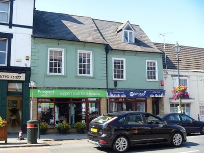
35, High Street, building in Cricklade, Wiltshire, UK
Location: Cricklade
Address: 35, High Street, Cricklade, Wiltshire, SN6
GPS coordinates: 51.64143,-1.85642
Latest update: March 5, 2025 03:03
Jenner's School
92 m
3, Church Lane
89 m
Danvers House
62 m
Kings Head Public House
70 m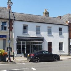
London House
57 m
46, High Street
99 m
The Vale Hotel
24 m
25, High Street
101 m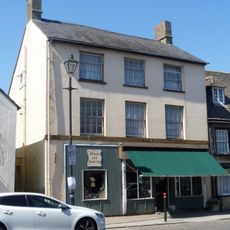
44, High Street
79 m
33 And 34, Calcutt Street
74 m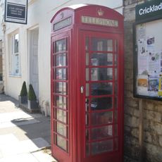
K6 Telephone Kiosk
31 m
107, High Street
46 m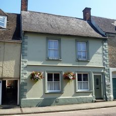
108, High Street
52 m
110, High Street
72 m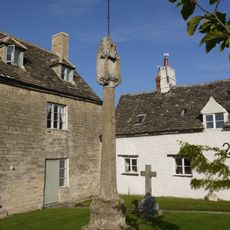
Old Town Cross
95 m
Bod Trever
93 m
37, High Street
13 m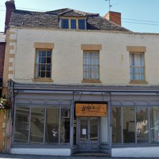
31, High Street
41 m
94, High Street
98 m
33, High Street
12 m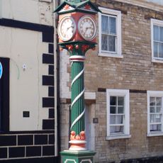
Jubilee Clock
20 m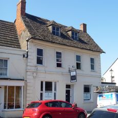
38, High Street
24 m
27, High Street
83 m
95, High Street
91 m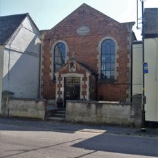
Wesley Hall
71 m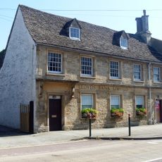
Lloyds Bank
106 m
Orthostatic Wall To Churchyard Between Jenners School And The Gatehouse
106 m
45, High Street
88 mVisited this place? Tap the stars to rate it and share your experience / photos with the community! Try now! You can cancel it anytime.
Discover hidden gems everywhere you go!
From secret cafés to breathtaking viewpoints, skip the crowded tourist spots and find places that match your style. Our app makes it easy with voice search, smart filtering, route optimization, and insider tips from travelers worldwide. Download now for the complete mobile experience.

A unique approach to discovering new places❞
— Le Figaro
All the places worth exploring❞
— France Info
A tailor-made excursion in just a few clicks❞
— 20 Minutes