
38, Purton Stoke, building in Purton, Wiltshire, UK
Location: Purton
Address: 38, Purton Stoke, Purton, Wiltshire, SN5
GPS coordinates: 51.61428,-1.86757
Latest update: October 11, 2025 11:35
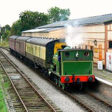
Swindon and Cricklade Railway
1.8 km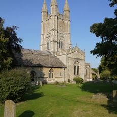
St Sampson's Church
3 km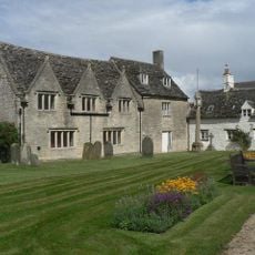
Jenner's School
3.1 km
3, Church Lane
3 km
Purton War Memorial
3 km
Kings Head Public House
3.1 km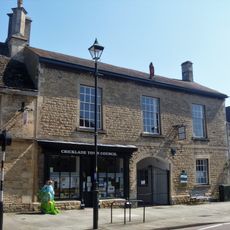
Ockwells
3 km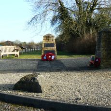
RAF Blakehill Farm WWII Memorial
1.9 km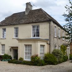
Purton Court
2.9 km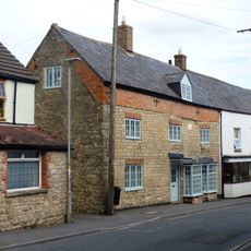
The Maltster Public House
2.9 km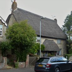
Tudor Cottages
3 km
23, High Street
3 km
25, High Street
3 km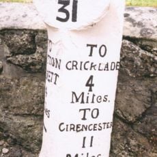
Milestone Opposite Number 15 High Street
3 km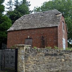
Granary, East Of College Farmhouse And Against Road
3 km
88, 89 And 89A, High Street
2.9 km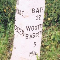
Milestone 140 Metres North Of Pound Farm
1.5 km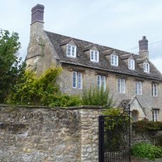
College Farmhouse
3 km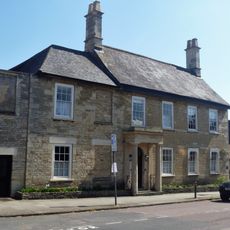
Alkerton House
3 km
Bod Trever
3 km
Old Town Cross
3 km
110, High Street
3.1 km
Collins Lane Gate
2.7 km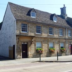
Lloyds Bank
3 km
27, High Street
3 km
Orthostatic Wall To Churchyard Between Jenners School And The Gatehouse
3 km
Hallidays
3.1 km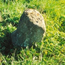
Milestone, S of crossroads at Broadleaze House at SU09439193
1.3 kmReviews
Visited this place? Tap the stars to rate it and share your experience / photos with the community! Try now! You can cancel it anytime.
Discover hidden gems everywhere you go!
From secret cafés to breathtaking viewpoints, skip the crowded tourist spots and find places that match your style. Our app makes it easy with voice search, smart filtering, route optimization, and insider tips from travelers worldwide. Download now for the complete mobile experience.

A unique approach to discovering new places❞
— Le Figaro
All the places worth exploring❞
— France Info
A tailor-made excursion in just a few clicks❞
— 20 Minutes