
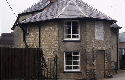
Collins Lane Gate, gate in Purton, Wiltshire, UK
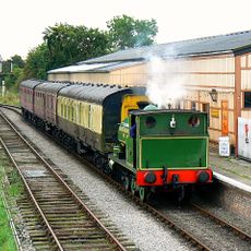
Swindon and Cricklade Railway
2.5 km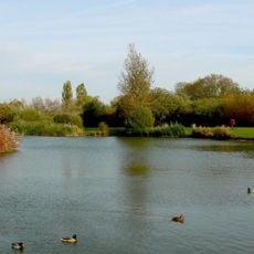
Mouldon Hill Country Park
2.5 km
St Mary's Church, Purton
806 m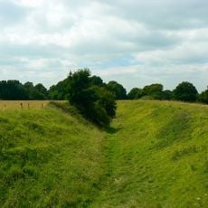
Ringsbury Camp
2.2 km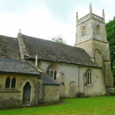
Church of All Saints, Lydiard Millicent
1.9 km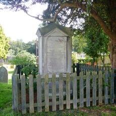
Prower Monument In Churchyard , 45 Metres South East Of South East Corner Of South Chapel, Church Of St Mary
859 m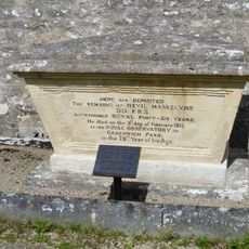
Maskeylne Monument In Churchyard Against South Trancept Wall, Church Of St Mary
812 m
3, Church End
809 m
Purton War Memorial
437 m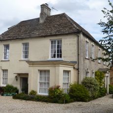
Purton Court
194 m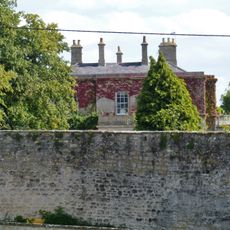
Purton House
889 m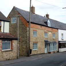
The Maltster Public House
275 m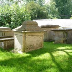
Group Of 16 Plummer And Large Monuments 12 Metres South West Of South Porch, Church Of St Mary
815 m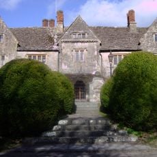
Manor House
761 m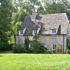
The Butt Hay
857 m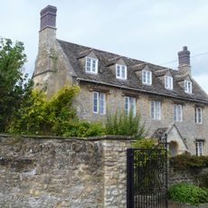
College Farmhouse
385 m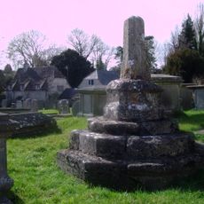
Medieval cross in St Mary's churchyard
829 m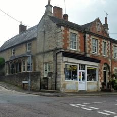
88, 89 And 89A, High Street
201 m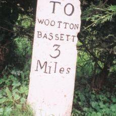
Miletone On Corner Of Mud Lane
1.7 km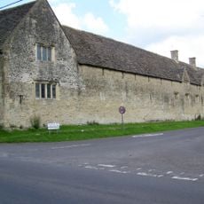
Tithe Barn At Manor House
728 m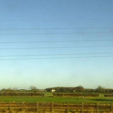
Lower Hook Farmhouse
3.2 km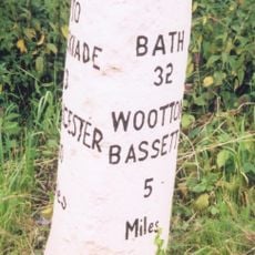
Milestone 140 Metres North Of Pound Farm
1.2 km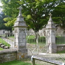
Railings And Piers To Churchyard Church Of St Mary
3.3 km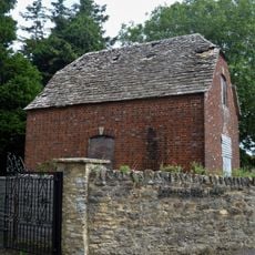
Granary, East Of College Farmhouse And Against Road
375 m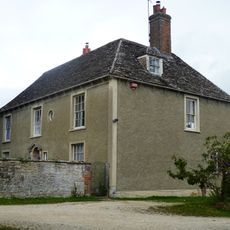
The Close
665 m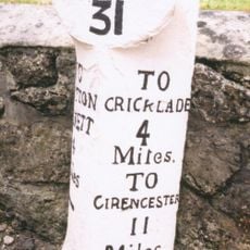
Milestone Opposite Number 15 High Street
403 m
Hallidays
597 m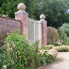
Walled Garden North West Of Lydiard Park
3.2 kmReviews
Visited this place? Tap the stars to rate it and share your experience / photos with the community! Try now! You can cancel it anytime.
Discover hidden gems everywhere you go!
From secret cafés to breathtaking viewpoints, skip the crowded tourist spots and find places that match your style. Our app makes it easy with voice search, smart filtering, route optimization, and insider tips from travelers worldwide. Download now for the complete mobile experience.

A unique approach to discovering new places❞
— Le Figaro
All the places worth exploring❞
— France Info
A tailor-made excursion in just a few clicks❞
— 20 Minutes