
16, Linkfield Lane, building in Reigate and Banstead, Surrey, UK
Location: Reigate and Banstead
Address: 16, Linkfield Lane, Reigate and Banstead, Surrey, RH1
GPS coordinates: 51.24484,-0.17196
Latest update: April 8, 2025 10:36
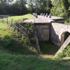
London Defence Positions
2.2 km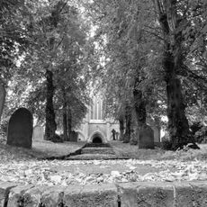
St John's, Redhill
1.8 km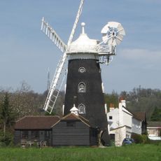
Wray Common Mill, Reigate
769 m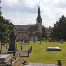
St Andrew's Church
1.8 km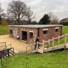
Reigate Fort
2.2 km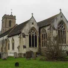
Church of St Mary Magdalene
2 km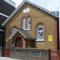
Baptist Chapel
510 m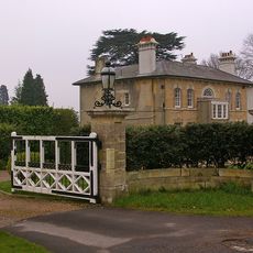
Entrance Gateway To South Of No 59 (Wray Park Lodge)
1.8 km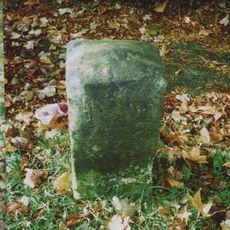
Milestone Opposite N0 31 Merrywood Park
2.2 km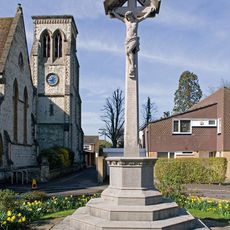
Reigate War Memorial
2.2 km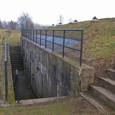
Reigate Fort
2.2 km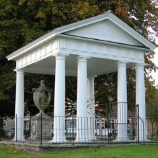
Gatton Town Hall
1.8 km
Reigate and Redhill War Memorial
1.1 km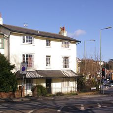
The Firs
1.4 km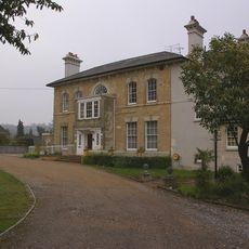
Wray Park Hall
1.7 km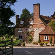
Wray Farmhouse
1.3 km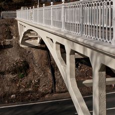
Reigate Hill Footbridge
1.9 km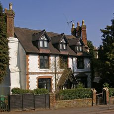
Old Garlands
1.4 km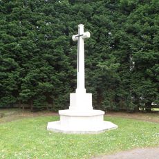
Reigate Cemetery Cross of Sacrifice
1.8 km
Cherchefelle
2 km
8 And 9, Pendleton Road
1.7 km
Wray Park Lodge
1.8 km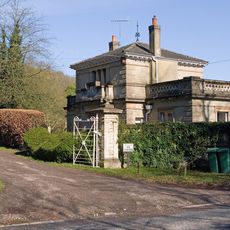
West Lodge With Walls, Piers And Gates
905 m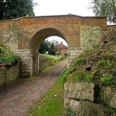
Viaduct
1.7 km
73 And 73A, Linkfield Street
929 m
10, Hooley Lane
1.4 km
North Lodge, Including Fence And Gate
2.1 km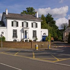
Delville
2 kmReviews
Visited this place? Tap the stars to rate it and share your experience / photos with the community! Try now! You can cancel it anytime.
Discover hidden gems everywhere you go!
From secret cafés to breathtaking viewpoints, skip the crowded tourist spots and find places that match your style. Our app makes it easy with voice search, smart filtering, route optimization, and insider tips from travelers worldwide. Download now for the complete mobile experience.

A unique approach to discovering new places❞
— Le Figaro
All the places worth exploring❞
— France Info
A tailor-made excursion in just a few clicks❞
— 20 Minutes