
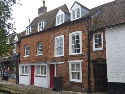
69, High Street, building in Marlborough, Wiltshire, UK
Location: Marlborough
Address: 69, High Street, Marlborough, Wiltshire, SN8
GPS coordinates: 51.41775,-1.73466
Latest update: March 12, 2025 16:09
Marlborough Castle
213 m
Marlborough Mound
229 m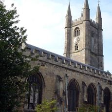
Church of St Peter and St Paul
35 m
St Michael & All Angels Chapel
194 m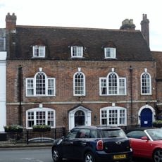
Ivy House Hotel
158 m
Memorial Hall
289 m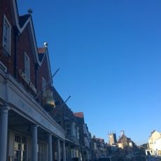
The Castle And Ball Hotel
333 m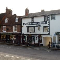
The Wellington Arms
132 m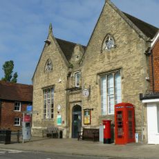
Marlborough Library
114 m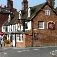
The Sun Public House
94 m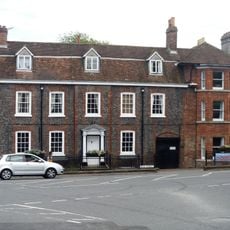
50 And 50A, High Street
105 m
Lloran House
169 m
70 And 71, High Street
7 m
72, High Street
14 m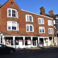
121, High Street
376 m
73 And 74, High Street
22 m
St Peter's Rectory
80 m
Wall To Former Stableyard Of St Peter's Rectory, Extending From Number 50 To Number 51
87 m
75, High Street
30 m
Mant House
59 m
Wall To Hermitage And Hyde Close
146 m
76, High Street
39 m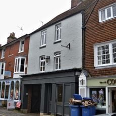
80 And 81, High Street
57 m
Barton Farm House
319 m
Barton Farm Stables
361 m
Hyde Close The Hermitage
139 m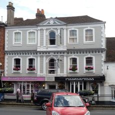
36 and 37, High Street
227 m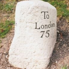
Milestone, Bath Road, opp. chapel of Marlborough School, W of school bridge and pedestrian crossing
209 mReviews
Visited this place? Tap the stars to rate it and share your experience / photos with the community! Try now! You can cancel it anytime.
Discover hidden gems everywhere you go!
From secret cafés to breathtaking viewpoints, skip the crowded tourist spots and find places that match your style. Our app makes it easy with voice search, smart filtering, route optimization, and insider tips from travelers worldwide. Download now for the complete mobile experience.

A unique approach to discovering new places❞
— Le Figaro
All the places worth exploring❞
— France Info
A tailor-made excursion in just a few clicks❞
— 20 Minutes