
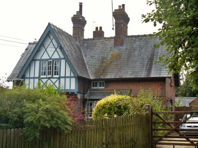
67 And 68, building in West Overton, Wiltshire, UK
Location: West Overton
Address: 67 And 68, West Overton, Wiltshire, SN8
GPS coordinates: 51.41087,-1.81217
Latest update: March 9, 2025 12:15
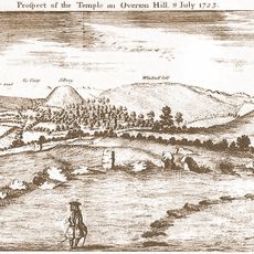
The Sanctuary
1.3 km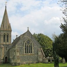
Christ Church
1.5 km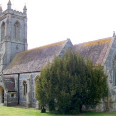
Church of St Michael
261 m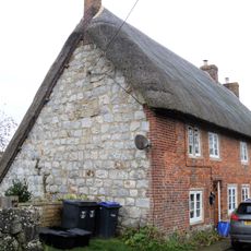
2, Church Lane
1.5 km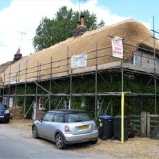
Church Cottage Overton Cottages
1.3 km
Down Barn Cottage
1.5 km
Yew Tree Cottage
131 m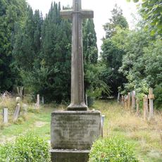
West Overton War Memorial
260 m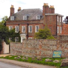
Lockeridge House
1.5 km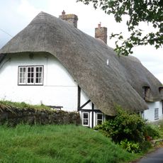
Church Hill Cottage
271 m
West Overton Farmhouse
302 m
Manor House
225 m
Verger's Cottage
291 m
Old Thatch
1.4 km
Barns Formerly With Manor Farm, East Kennett
1.5 km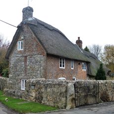
Orchard Farmhouse
1.3 km
41
1.6 km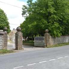
Stable Yard Walls And Gate Piers, East Kennett Manor
1.4 km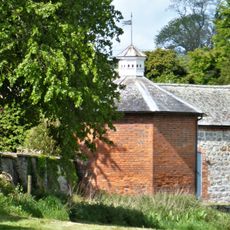
Dovecote At East Kennett Manor
1.3 km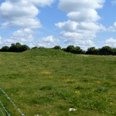
Bowl barrow east of the Ridgeway forming part of the Overton Hill Bronze Age round barrow cemetery.
1.3 km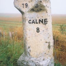
Milestone 400 Metres East Of The Ridgeway
929 m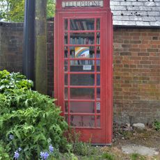
K6 Telephone Kiosk To West Of The Old Schoolhouse
1.4 km
West Overton House
134 m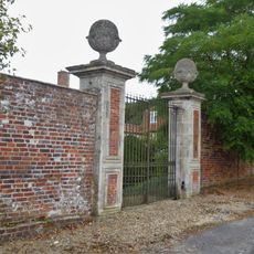
Gate Piers, Gates And Flank Walls To Lockeridge House
1.6 km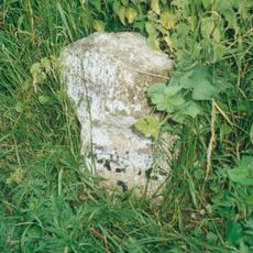
Milestone Approximately 570 Metres East Of North Farm Turn
809 m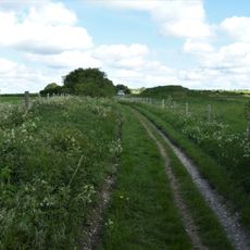
Bowl barrow 50m south of The Sanctuary on Overton Hill, forming part of the Seven Barrow Hill round barrow cemetery
1.3 km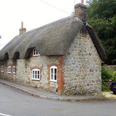
76 And 77
154 m
North Farmhouse
535 mReviews
Visited this place? Tap the stars to rate it and share your experience / photos with the community! Try now! You can cancel it anytime.
Discover hidden gems everywhere you go!
From secret cafés to breathtaking viewpoints, skip the crowded tourist spots and find places that match your style. Our app makes it easy with voice search, smart filtering, route optimization, and insider tips from travelers worldwide. Download now for the complete mobile experience.

A unique approach to discovering new places❞
— Le Figaro
All the places worth exploring❞
— France Info
A tailor-made excursion in just a few clicks❞
— 20 Minutes