
High Angerton Farmhouse, farmhouse in Hartburn, Northumberland, UK
Netherwitton Hall
5.3 km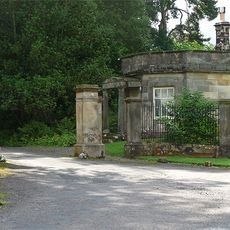
Meldon Park
1.3 km
Romano-British settlement and Iron Age defended settlement, 550m north east of Shaftoe Grange
5.1 km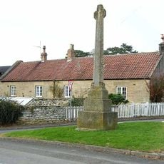
Hartburn War Memorial
882 m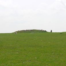
Standing stone and adjacent round cairn, 760m north east of East Shaftoe Hall
4.4 km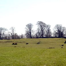
Defended settlement on Slate Hill, 300m north west of Bolam Lake
3.7 km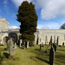
Church of St Andrew
764 m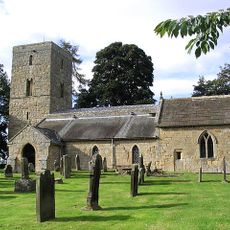
Church of St Andrew
2.8 km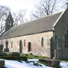
Church of St John the Baptist
2.9 km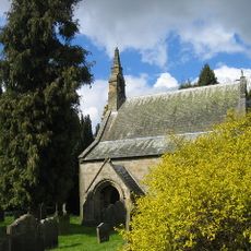
Church of St Giles
5.1 km
Lodge At Entrance To Meldon Park
1.2 km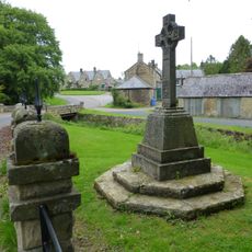
Netherwitton War Memorial
4.8 km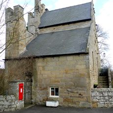
Old Schoolhouse
994 m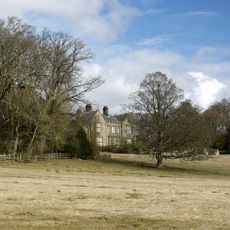
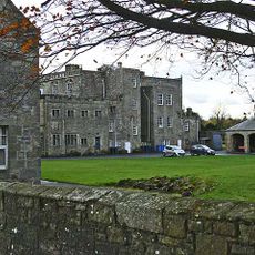
Angerton Hall And Attached Wall To North-East
324 m
Bridge Over Nun Burn 200 Metres South Of Nunriding Hall
4.3 km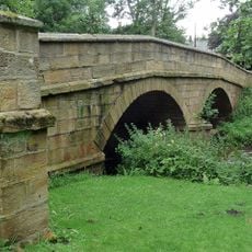
Netherwitton Bridge Over River Font
4.8 km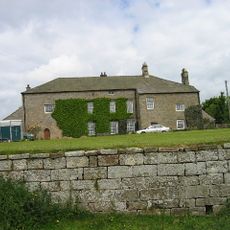
East Shaftoe Hall
5.1 km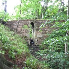
Footbridge Over Small Stream 15 Metres East Of B 6343
1.1 km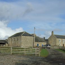
Needlesshallmoor Farmhouse
2.6 km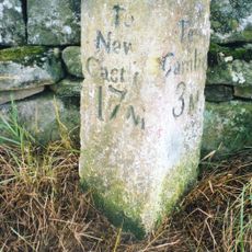
Milepost On West Side Of Road Opposite Track To Corridge
4.1 km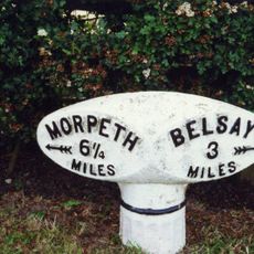
Milepost 100 Metres East Of Whiteside North
5.2 km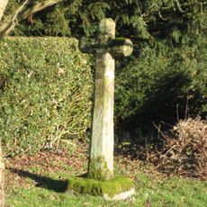
Netherwitton Village Cross In Garden Of Font House
4.9 km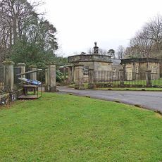
Piers And Screen Walls At Entrance To Meldon Park
1.2 km
Netherwitton Farmhouse
4.8 km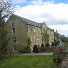
Netherwitton Mill
4.8 km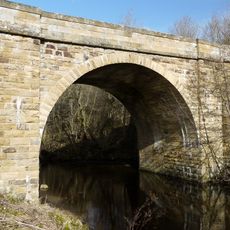
Hartburn Bridge, Over The Hart Burn
663 m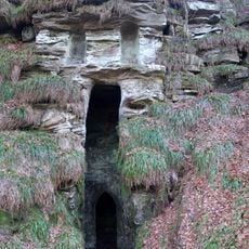
Grotto On South Bank Of Hart Burn
1.3 km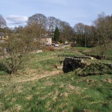
Footbridge Over Middleton Burn 60 Metres South-West Of Congregational Church
3.4 kmReviews
Visited this place? Tap the stars to rate it and share your experience / photos with the community! Try now! You can cancel it anytime.
Discover hidden gems everywhere you go!
From secret cafés to breathtaking viewpoints, skip the crowded tourist spots and find places that match your style. Our app makes it easy with voice search, smart filtering, route optimization, and insider tips from travelers worldwide. Download now for the complete mobile experience.

A unique approach to discovering new places❞
— Le Figaro
All the places worth exploring❞
— France Info
A tailor-made excursion in just a few clicks❞
— 20 Minutes