
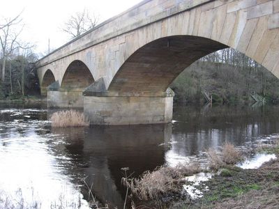
Bellingham Bridge, bridge over the North Tyne
Location: Bellingham
Inception: 1834
GPS coordinates: 55.14314,-2.26198
Latest update: March 3, 2025 05:06
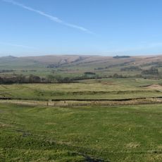
Habitancum
6.5 km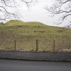
Bellingham Castle
699 m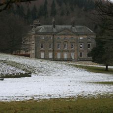
Hesleyside Hall
1.8 km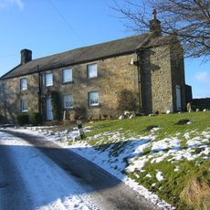
Dally Castle
6 km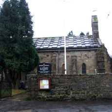
Church of St Cuthbert
369 m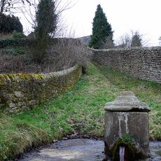
St Cuthbert's Well
379 m
Tarset Castle
5.1 km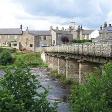
Wark Bridge
6.8 km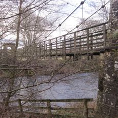
Greystead Bridge
6.4 km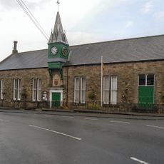
Town Hall
416 m
Town Hall
6.8 km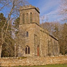
Church of St Luke
6.8 km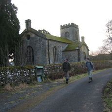
Church of St Aidan
6.5 km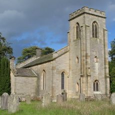
Church of St Michael
6.2 km
Church of St Oswald
150 m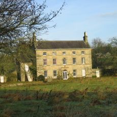
Lee Hall
4.4 km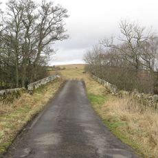
Bridge Over Tarset Burn
5.3 km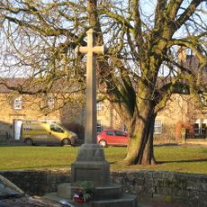
Wark War Memorial, Village Green
6.7 km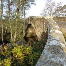
Chirdonburn Bridge
5.4 km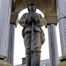
Bellingham Boer War Memorial Fountain
446 m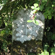
Boundary Stone 600 Yards North-East Of Billerley Farm
3.6 km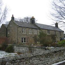
The Manor House
6.7 km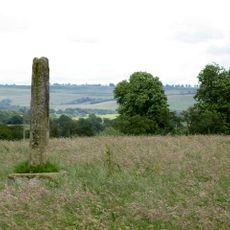
Shitlington Cross
3.8 km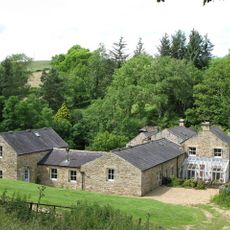
Ramshaw's Mill And Farmhouse
6.6 km
Hole Bastle, 20 yards north of Hole Farmhouse
3.6 km
Broadgate
6.6 km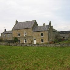
Snabdaugh Farmhouse And Attached Cottage
4.9 km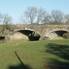
Tarset Viaduct
5.3 kmReviews
Visited this place? Tap the stars to rate it and share your experience / photos with the community! Try now! You can cancel it anytime.
Discover hidden gems everywhere you go!
From secret cafés to breathtaking viewpoints, skip the crowded tourist spots and find places that match your style. Our app makes it easy with voice search, smart filtering, route optimization, and insider tips from travelers worldwide. Download now for the complete mobile experience.

A unique approach to discovering new places❞
— Le Figaro
All the places worth exploring❞
— France Info
A tailor-made excursion in just a few clicks❞
— 20 Minutes