Habitancum, Roman fort in Corsenside, England
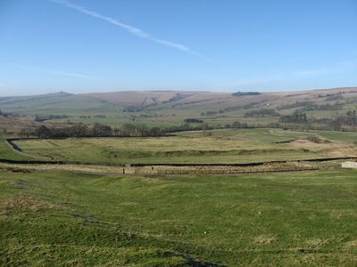
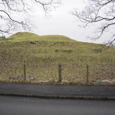
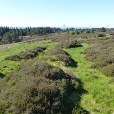
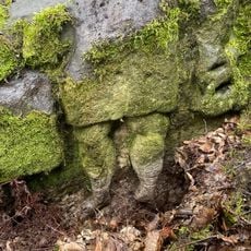
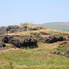
Habitancum is a Roman fort near Corsenside with a rectangular layout measuring approximately 135 by 117 meters. The site displays surviving ramparts, defensive walls, and corner towers built from local sandstone that outline the former military camp.
The fort was established in the early 200s under Emperor Septimius Severus and housed a cavalry unit of about 1000 soldiers along Dere Street. It formed part of Rome's defensive network protecting against northern tribes in Britain.
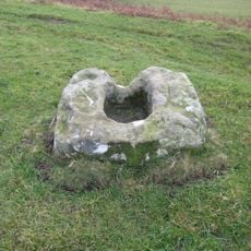
Archaeological excavations in the 1840s revealed a bath house and headquarters building, along with pottery dating to the early second century.
The fort remains are accessible via public footpaths and can be explored independently. The best-preserved sections are visible at the northeastern corner, where the camp layout is most apparent.
Excavations in the 1840s revealed a bath house and headquarters building with pottery from the 2nd century. These finds provide evidence of daily life among the soldiers stationed there.
Location: Corsenside
Part of: Hadrian's Wall
GPS coordinates: 55.17000,-2.17200
Latest update: December 12, 2025 09:02
Bellingham Castle
5.9 km
Church of St Cuthbert
6.1 km
St Cuthbert's Well
6.1 km
Bellingham Bridge
6.5 km
Town Hall
6.1 km
Church of St Cuthbert
3.1 km
Church of All Saints
1.1 km
East Woodburn Bridge
1.7 km
West Woodburn Bridge
604 m
Church of St Oswald
6.4 km
Chairford Bridge
1.8 km
Corsenside Parish War Memorial, West Woodburn
637 m
Bellingham Boer War Memorial Fountain
6 km
6, Low Park
612 m
Great Wanney
4.9 km
Bay Horse Inn
655 m
'Robin of Risingham' Roman Rock Carving
1.1 km
Ridsdale ironworks
2.3 km
Roman milestone N of Waterfalls Farm
5 km
Milestone Circa A Quarter Of A Mile West Of Raylees
6 km
Farmbuildings 20 Yards South-East Of Townfoot Farmhouse
1.5 km
5, Low Park
619 m
Broadgate
106 m
Milestone Circa 1000 Yards South Of Blaxter Cottages
6.3 km
Townfoot Farmhouse And Attached Farm Buildings And Cottages
1.4 km
Hole Bastle, 20 yards north of Hole Farmhouse
2.9 km
Medieval cross, 150m west of Woodburnhill Farm
2.1 km
Milestone, Raylees
6.2 kmVisited this place? Tap the stars to rate it and share your experience / photos with the community! Try now! You can cancel it anytime.
Discover hidden gems everywhere you go!
From secret cafés to breathtaking viewpoints, skip the crowded tourist spots and find places that match your style. Our app makes it easy with voice search, smart filtering, route optimization, and insider tips from travelers worldwide. Download now for the complete mobile experience.
A unique approach to discovering new places❞
— Le Figaro
All the places worth exploring❞
— France Info
A tailor-made excursion in just a few clicks❞
— 20 Minutes