
Pill Box at NU250047, building in Warkworth, Northumberland
Location: Warkworth
Inception: 1940
GPS coordinates: 55.33450,-1.60582
Latest update: March 9, 2025 12:59

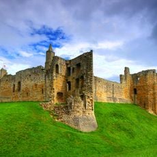
Warkworth Castle
1.3 km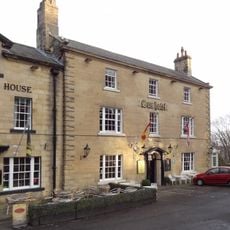
The Sun Hotel
1.3 km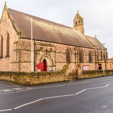
Church of St Cuthbert
1.4 km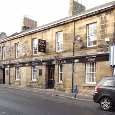
The Dock Public House
1.3 km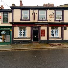
The Waterloo Public House
1.3 km
The Donjon
1.3 km
Ruined Walls To East Of Roman Catholic Church Of Sacred Heart And St Cuthbert
1.1 km
5, Castle Street
1.4 km
1, Castle Terrace
1.4 km
41, Queen Street
1.4 km
Old Barns Farmhouse
1.1 km
4, Castle Street
1.4 km
46, Castle Street
1.4 km
New Barns Farmhouse
756 m
Castlegate House
1.4 km
Gatepiers Quadrant Wall And Mounting Block To North Of Gloster Hill Farmhouse
710 m
3 5 7, North Street
1.3 km
Wall Enclosing Church Of St Cuthbert With Gates Piers And Gates
1.4 km
31-39, Queen Street
1.3 km
Coquet View
1.4 km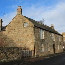
Coquet House
1.4 km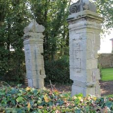
Old Gate Piers To East Of Gloster Hill Farmhouse
755 m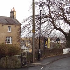
Wall And Railings Enclosing Lawn In Front Of Sun Hotel
1.3 km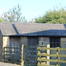
West Part Of Farmbuilding Group To North Of Maudlin Farmhouse
672 m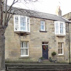
4A, Castle Street
1.4 km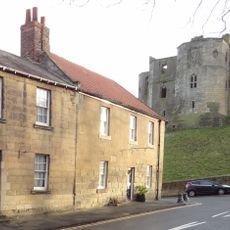
47, Castle Street
1.4 km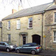
44, Castle Street
1.4 km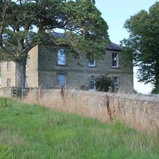
Garden Wall To East South And West Of New Barns Farmhouse
748 mReviews
Visited this place? Tap the stars to rate it and share your experience / photos with the community! Try now! You can cancel it anytime.
Discover hidden gems everywhere you go!
From secret cafés to breathtaking viewpoints, skip the crowded tourist spots and find places that match your style. Our app makes it easy with voice search, smart filtering, route optimization, and insider tips from travelers worldwide. Download now for the complete mobile experience.

A unique approach to discovering new places❞
— Le Figaro
All the places worth exploring❞
— France Info
A tailor-made excursion in just a few clicks❞
— 20 Minutes