
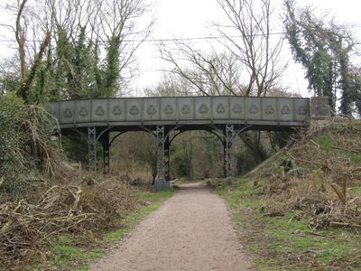
Dilham Road bridge, road bridge in Honing, North Norfolk, Norfolk, UK
Location: Honing
Inception: 1881
GPS coordinates: 52.79327,1.45189
Latest update: September 23, 2025 16:47
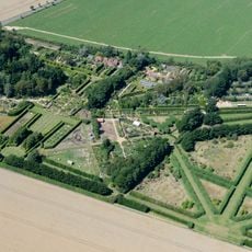
East Ruston Old Vicarage
4.1 km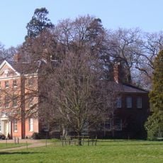
Honing Hall
1.7 km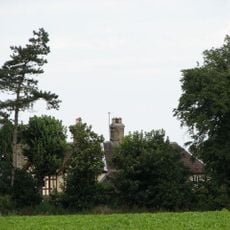
Dilham Castle
1.2 km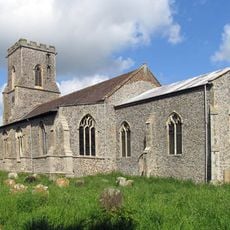
St Mary's Church, East Ruston
3.8 km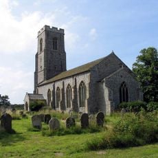
Church of St Peter and St Paul
714 m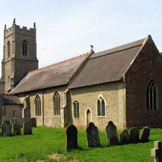
Church of St Peter
4.1 km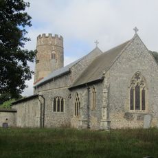
Church of St Margaret
4.2 km
Church of St Peter
4.2 km
Church of All Saints
2.7 km
Church of St Peter
3.4 km
Church of St Mary
2.9 km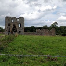
Honing Station
1.2 km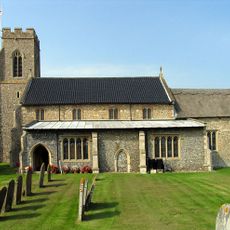
Church of St Bartholomew
4.3 km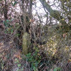
Cross Shaft 250 Metres West Of Park Farm
1.7 km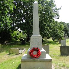
Smallburgh War Memorial
3.4 km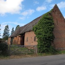
Barn at Church Farm
3.9 km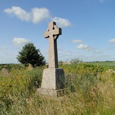
East Ruston War Memorial
3.8 km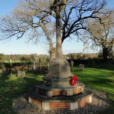
Sloley War Memorial
4.4 km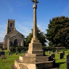
Honing War Memorial
692 m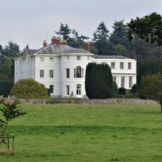
Westwick House
4.3 km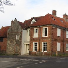
The Manor House
2.9 km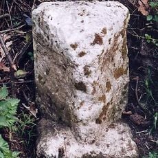
Milestone, 40yds N of jct with rd to Swanton Abbott and Wwick
4.4 km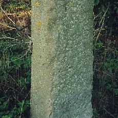
Milestone, N side of entrance to church
688 m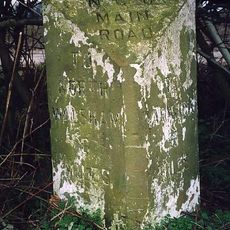
Milestone, opp. Toads Green Farm
3.5 km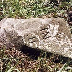
Milestone, 3 yds S of Dilham sign
2.3 km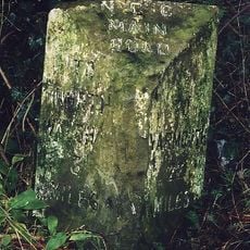
Milestone, 3yds N of turn off A149; 12yds S of stream
2.2 km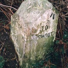
Milestone, c.50yds E of Holgate Rd
3.5 km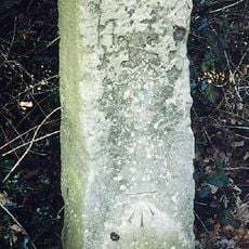
Milestone, 60yds N of entrance drive to Honing Hall
1.5 kmReviews
Visited this place? Tap the stars to rate it and share your experience / photos with the community! Try now! You can cancel it anytime.
Discover hidden gems everywhere you go!
From secret cafés to breathtaking viewpoints, skip the crowded tourist spots and find places that match your style. Our app makes it easy with voice search, smart filtering, route optimization, and insider tips from travelers worldwide. Download now for the complete mobile experience.

A unique approach to discovering new places❞
— Le Figaro
All the places worth exploring❞
— France Info
A tailor-made excursion in just a few clicks❞
— 20 Minutes