
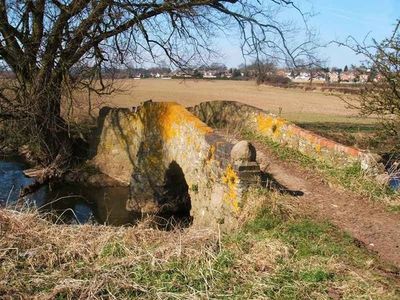
Coffin Bridge, packhorse bridge in Thurcaston and Cropston, Charnwood, Leicestershire, UK
Location: Thurcaston and Cropston
GPS coordinates: 52.68996,-1.17358
Latest update: March 3, 2025 03:17
Bradgate Park
3.2 km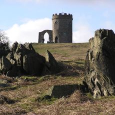
Old John
3.5 km
Rothley Temple
2.5 km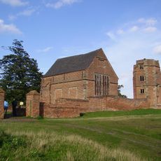
Bradgate House
2.6 km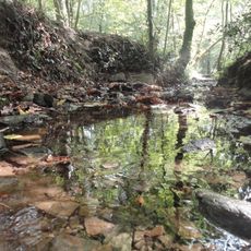
Swithland Wood
2.7 km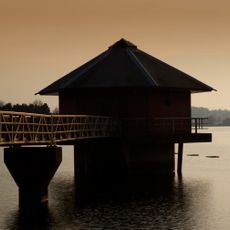
Cropston Reservoir
1.4 km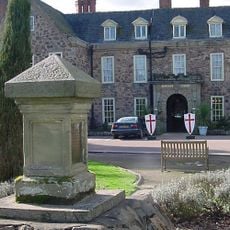
Rothley Court
2.1 km
Swithland Hall
2.1 km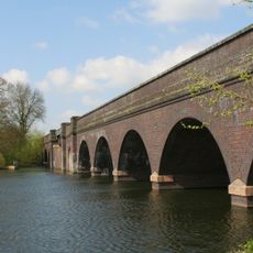
Swithland Viaduct
3.1 km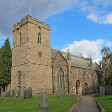
St Mary's Church, Anstey
2.2 km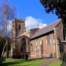
Church of St Mary the Virgin and St John the Baptist, Rothley
3.4 km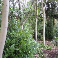
Roecliffe Manor Lawns
3.4 km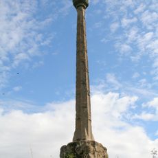
Mountsorrel Cross
2.1 km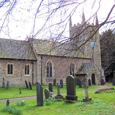
Church of St Leonard
2.3 km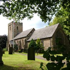
Church of All Saints
590 m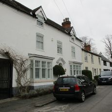
4, Church Street
3.3 km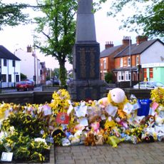
Rothley War Memorial and Walls
3.3 km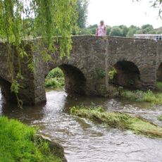
Pack Horse Bridge
2.3 km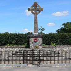
Swithland Cross War Memorial
2.8 km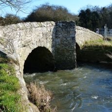
King William's Bridge
1.7 km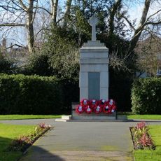
Anstey War Memorial
2.2 km
80, Town Green Street
2.8 km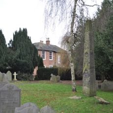
Mercian cross, St Mary and St John's churchyard
3.4 km
Latimer's House
761 m
Tiltyard
2.5 km
Lodge, Turret, Gate Piers And Gates At Rothley Court Hotel
2.6 km
52, Anstey Lane
688 m
Former Parish Boundary Stones At Longdale Cottage
3.4 kmReviews
Visited this place? Tap the stars to rate it and share your experience / photos with the community! Try now! You can cancel it anytime.
Discover hidden gems everywhere you go!
From secret cafés to breathtaking viewpoints, skip the crowded tourist spots and find places that match your style. Our app makes it easy with voice search, smart filtering, route optimization, and insider tips from travelers worldwide. Download now for the complete mobile experience.

A unique approach to discovering new places❞
— Le Figaro
All the places worth exploring❞
— France Info
A tailor-made excursion in just a few clicks❞
— 20 Minutes