
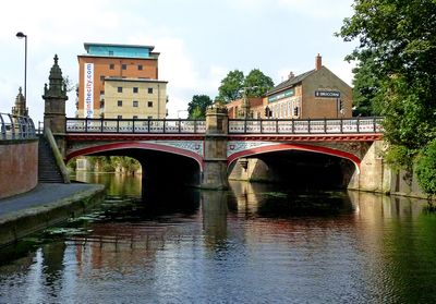
West Bridge, Leicester, road bridge over the River Soar/ Grand Union Canal.
Location: City of Leicester
Inception: 1891
GPS coordinates: 52.63363,-1.14218
Latest update: September 23, 2025 16:47
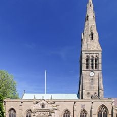
Leicester Cathedral
360 m
Greyfriars, Leicester
386 m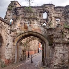
Leicester Castle
162 m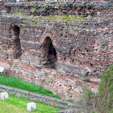
Jewry Wall
173 m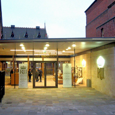
King Richard III Visitor Centre
406 m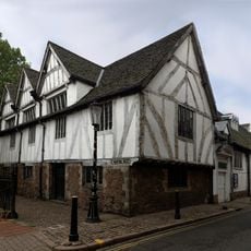
Leicester Guildhall
342 m
Church of St Mary de Castro, Leicester
190 m
Jewry Wall Museum
145 m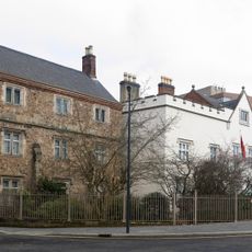
Newarke Houses Museum
303 m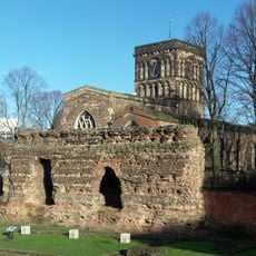
St Nicholas' Church, Leicester
185 m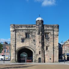
Magazine Gateway
359 m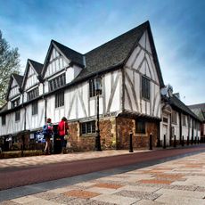
Guildhall
333 m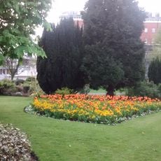
Leicester Castle Garden
192 m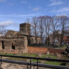
Jewry Wall
177 m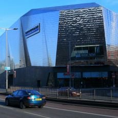
Showcase Cinema de Lux Leicester
409 m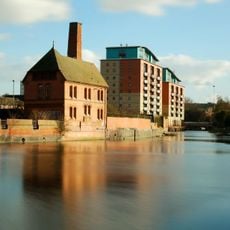
The Pump House, Friar's Mill
322 m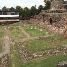
Jewry Wall: remains of a Roman bath house, palaestra and Anglo-Saxon church
175 m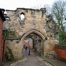
Leicester Castle and the Magazine Gateway
193 m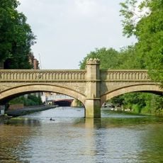
Newarke Bridge Over River Soar
283 m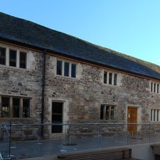
Old Grammar School
350 m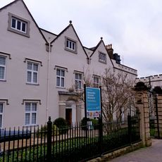
Skeffington House
298 m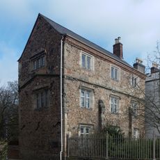
Chantry House
301 m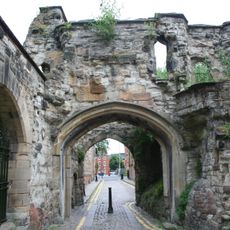
Turret Gateway
266 m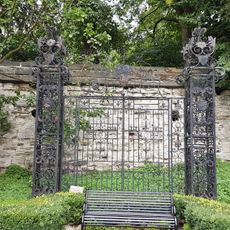
Iron Gates In Garden At Rear Of Skeffington House
255 m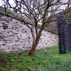
Newarke Wall, along north west end of gardens of Newarke Houses Museum
252 m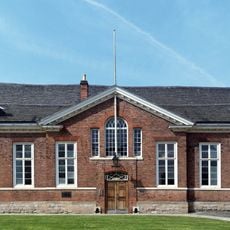
County Court (including Remains Of Castle)
152 m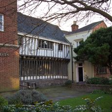
Wyggeston House
263 m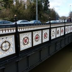
Bow Bridge
140 mReviews
Visited this place? Tap the stars to rate it and share your experience / photos with the community! Try now! You can cancel it anytime.
Discover hidden gems everywhere you go!
From secret cafés to breathtaking viewpoints, skip the crowded tourist spots and find places that match your style. Our app makes it easy with voice search, smart filtering, route optimization, and insider tips from travelers worldwide. Download now for the complete mobile experience.

A unique approach to discovering new places❞
— Le Figaro
All the places worth exploring❞
— France Info
A tailor-made excursion in just a few clicks❞
— 20 Minutes