
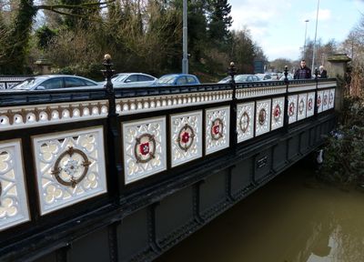
Bow Bridge, road bridge in City of Leicester, Leicestershire, UK
Location: City of Leicester
GPS coordinates: 52.63397,-1.14418
Latest update: September 23, 2025 16:56
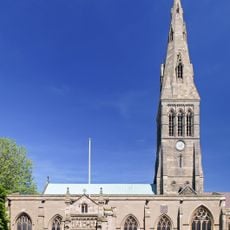
Leicester Cathedral
484 m
Greyfriars, Leicester
524 m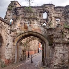
Leicester Castle
274 m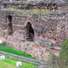
Jewry Wall
240 m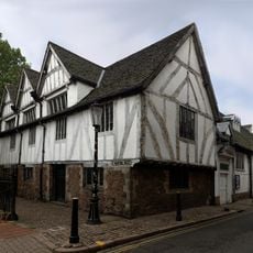
Leicester Guildhall
459 m
Church of St Mary de Castro, Leicester
316 m
Jewry Wall Museum
194 m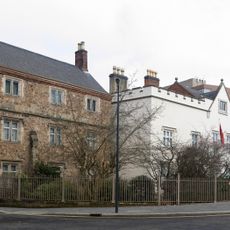
Newarke Houses Museum
428 m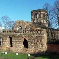
St Nicholas' Church, Leicester
255 m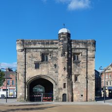
Magazine Gateway
493 m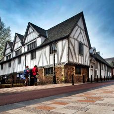
Guildhall
452 m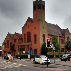
Robert Hall Memorial Baptist Church
399 m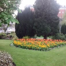
Leicester Castle Garden
287 m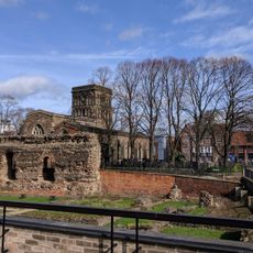
Jewry Wall
243 m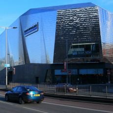
Showcase Cinema de Lux Leicester
476 m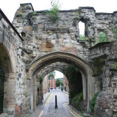
Turret Gateway
386 m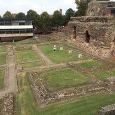
Jewry Wall: remains of a Roman bath house, palaestra and Anglo-Saxon church
234 m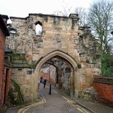
Leicester Castle and the Magazine Gateway
314 m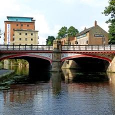
West Bridge, Leicester
140 m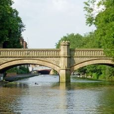
Newarke Bridge Over River Soar
346 m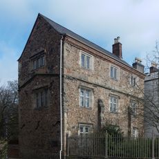
Chantry House
422 m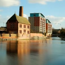
The Pump House, Friar's Mill
244 m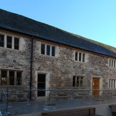
Old Grammar School
425 m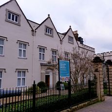
Skeffington House
425 m
County Court (including Remains Of Castle)
267 m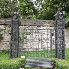
Iron Gates In Garden At Rear Of Skeffington House
386 m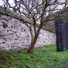
Newarke Wall, along north west end of gardens of Newarke Houses Museum
380 m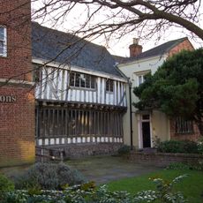
Wyggeston House
384 mReviews
Visited this place? Tap the stars to rate it and share your experience / photos with the community! Try now! You can cancel it anytime.
Discover hidden gems everywhere you go!
From secret cafés to breathtaking viewpoints, skip the crowded tourist spots and find places that match your style. Our app makes it easy with voice search, smart filtering, route optimization, and insider tips from travelers worldwide. Download now for the complete mobile experience.

A unique approach to discovering new places❞
— Le Figaro
All the places worth exploring❞
— France Info
A tailor-made excursion in just a few clicks❞
— 20 Minutes