
66 And 66A, High Street, building in Edenbridge, Sevenoaks, Kent, UK
Location: Edenbridge
Address: 66 And 66A, High Street, Edenbridge, Sevenoaks, Kent, TN8
GPS coordinates: 51.19657,0.06482
Latest update: March 9, 2025 04:14
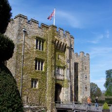
Hever Castle
3.6 km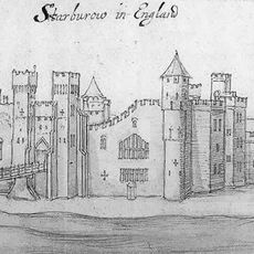
Starborough Castle
2.7 km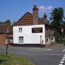
Queen's Arms, Cowden Pound
4.1 km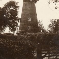
Edenbridge Windmill
737 m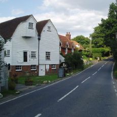
Haxted Watermill
2.6 km
How Green House
3 km
Eden Valley Museum
43 m
Holy Trinity Church, Crockham Hill
4.5 km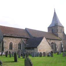
Church of St Peter and St Paul, Edenbridge
131 m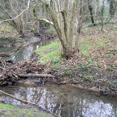
Kent Brook
742 m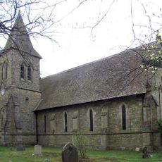
Church of the Holy Trinity, Markbeech
4.6 km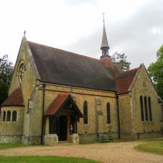
Church of St Paul
3.3 km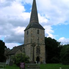
Church of St Peter
3.5 km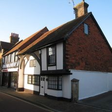
7 and 9, Church Street
101 m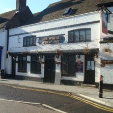
The White Horse Inn
12 m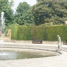
Italian Sculpture Garden To South East Of Hever Castle
3.7 km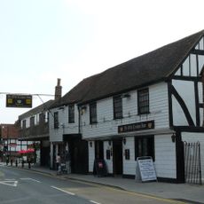
The Crown Hotel
66 m
Former Edenbridge Library
97 m
The Four Elms Public House
3.2 km
Broxham Manor
2.5 km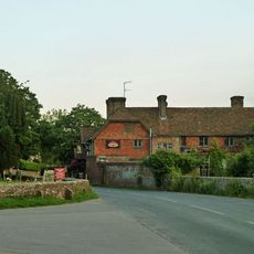
Hever War Memorial
3.5 km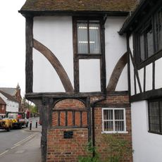
94 And 96, High Street
151 m
The Thatched Cottage
3.3 km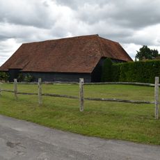
Barn At Greybury Farm To North West Of Farmhouse
3.5 km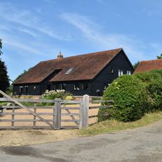
Sunt Barn
4.7 km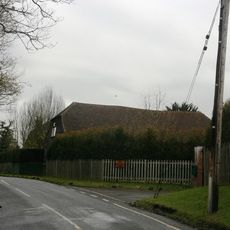
Barn Immediately South East Of The Bower
3.1 km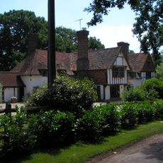
Broxham House
2.1 km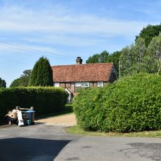
Sunt Farmhouse
4.6 kmReviews
Visited this place? Tap the stars to rate it and share your experience / photos with the community! Try now! You can cancel it anytime.
Discover hidden gems everywhere you go!
From secret cafés to breathtaking viewpoints, skip the crowded tourist spots and find places that match your style. Our app makes it easy with voice search, smart filtering, route optimization, and insider tips from travelers worldwide. Download now for the complete mobile experience.

A unique approach to discovering new places❞
— Le Figaro
All the places worth exploring❞
— France Info
A tailor-made excursion in just a few clicks❞
— 20 Minutes