
99, High Street, building in Sevenoaks, Sevenoaks, Kent, UK
Location: Sevenoaks
Address: 99, High Street, Sevenoaks, Sevenoaks, Kent, TN13
GPS coordinates: 51.27085,0.19257
Latest update: April 10, 2025 21:36
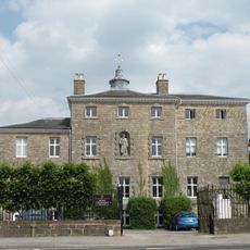
Sevenoaks School
672 m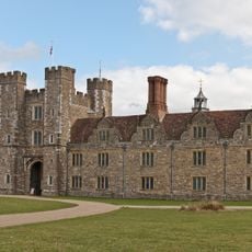
Knole House
1.1 km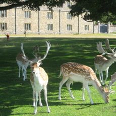
Knole Park
1.5 km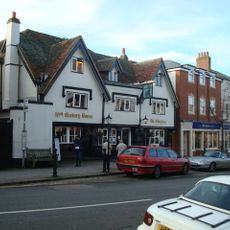
The Chequers Inn
98 m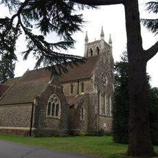
Church of St Mary
896 m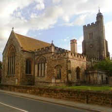
Church of Saint Nicholas
388 m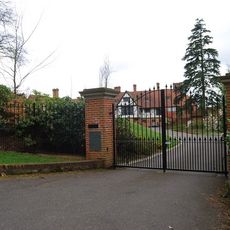
Churchill Court Including Terrace Walls
1 km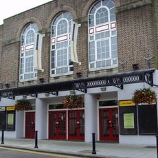
Stag Community Arts Centre
105 m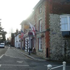
The Royal Oak Hotel
521 m
The Black Boy Public House
41 m
46, 48 And 48A, High Street
238 m
The Royal Oak Tap
540 m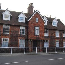
Little Oak End Oak End
553 m
Chantry House Including Entrance Gateway And Screen Wall To Courtyard
434 m
Claridge House
442 m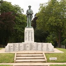
Sevenoaks War Memorial
584 m
The Red House Including Entrance Gateway, Railings And Side Brick Walls To Forecourt
198 m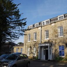
The Manor House
411 m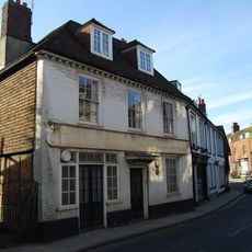
23, High Street
305 m
20-24, High Street
326 m
The Old Vicarage
345 m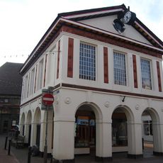
103, High Street
20 m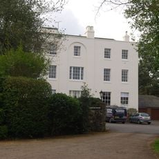
Kippington House Old Folks' Home And Coach Building To North West
877 m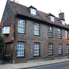
19, 21 And 21A, High Street
447 m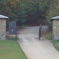
Main Lodge Entrance
544 m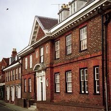
The Old House
343 m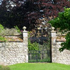
Garden Walls Adjoining Knole
1 km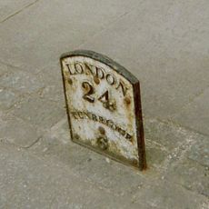
Milestone, Tonbridge Road, opp. No. 15, S of Church by Almshouses
483 mReviews
Visited this place? Tap the stars to rate it and share your experience / photos with the community! Try now! You can cancel it anytime.
Discover hidden gems everywhere you go!
From secret cafés to breathtaking viewpoints, skip the crowded tourist spots and find places that match your style. Our app makes it easy with voice search, smart filtering, route optimization, and insider tips from travelers worldwide. Download now for the complete mobile experience.

A unique approach to discovering new places❞
— Le Figaro
All the places worth exploring❞
— France Info
A tailor-made excursion in just a few clicks❞
— 20 Minutes