
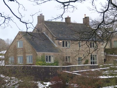
Stubbs, farmhouse in Hayfield, High Peak, Derbyshire, UK
Location: Hayfield
Inception: 18 century
GPS coordinates: 53.37449,-1.93637
Latest update: May 14, 2025 18:53
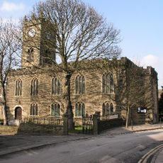
Church of St Matthew
841 m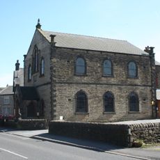
Methodist Chapel
857 m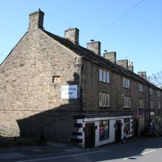
4, 6, 8 and 10, Church Street
805 m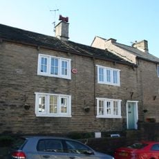
22 and 24, Church Street
739 m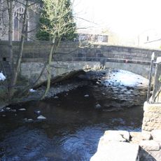
The Bridge
825 m
Bull's Head Inn
821 m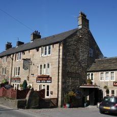
Kinder Lodge
812 m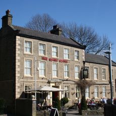
Royal Hotel
794 m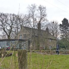
Highgate Hall
218 m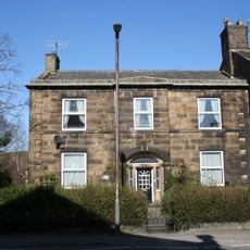
22, New Mills Road
857 m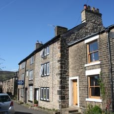
17, 19 and 21, Kinder Road
847 m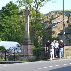
Hayfield War Memorial
816 m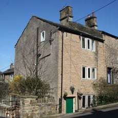
4, New Mills Road
739 m
41, New Mills Road
967 m
The Spinnery
824 m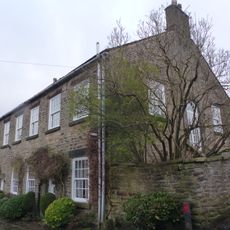
The Old School House
641 m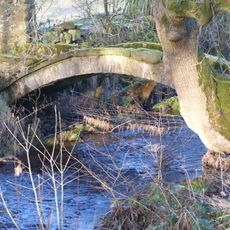
Bowden Bridge
912 m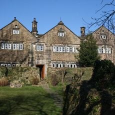
Fox Hall
750 m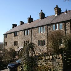
25, 27 and 29, Cote Lane
812 m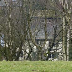
Old Pine Barn Farmhouse
479 m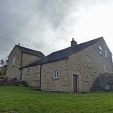
Hazelhurst Farmhouse
257 m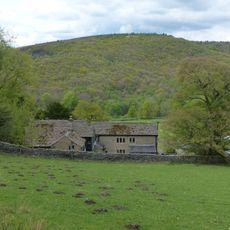
Stones House Farmhouse
732 m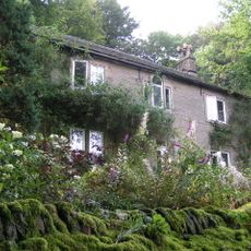
Phoside Farmhouse
715 m
51, New Mills Road
990 m
Bankend Farmhouse and barn
367 m
49, New Mills Road
985 m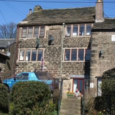
13, Kinder Road
858 m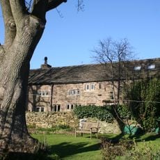
Fox Hall Barn
777 mReviews
Visited this place? Tap the stars to rate it and share your experience / photos with the community! Try now! You can cancel it anytime.
Discover hidden gems everywhere you go!
From secret cafés to breathtaking viewpoints, skip the crowded tourist spots and find places that match your style. Our app makes it easy with voice search, smart filtering, route optimization, and insider tips from travelers worldwide. Download now for the complete mobile experience.

A unique approach to discovering new places❞
— Le Figaro
All the places worth exploring❞
— France Info
A tailor-made excursion in just a few clicks❞
— 20 Minutes