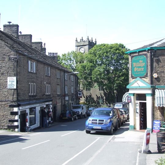
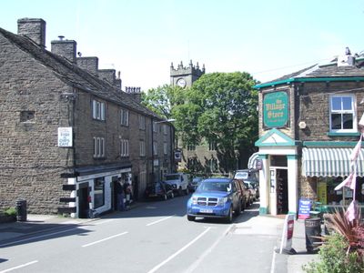
Hayfield, village and civil parish in High Peak, Derbyshire, UK
Location: High Peak
Shares border with: New Mills, Edale, Charlesworth, Hope Woodlands, Chinley, Buxworth and Brownside
GPS coordinates: 53.38000,-1.94000
Latest update: March 4, 2025 23:54
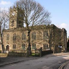
Church of St Matthew
394 m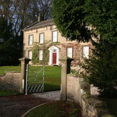
Aspenshaw Hall
3 km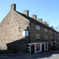
4, 6, 8 and 10, Church Street
393 m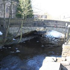
The Bridge
368 m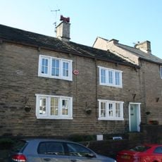
22 and 24, Church Street
391 m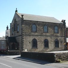
Methodist Chapel
529 m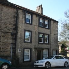
Bull's Head Inn
400 m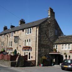
Kinder Lodge
476 m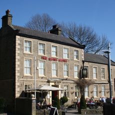
Royal Hotel
328 m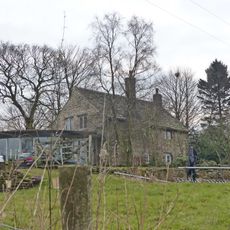
Highgate Hall
629 m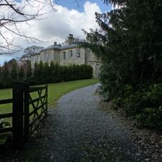
Park Hall
1.4 km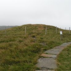
Kinderlow bowl barrow
3.2 km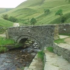
Packhorse Bridge at foot of Jacob's Ladder
4.8 km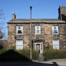
22, New Mills Road
506 m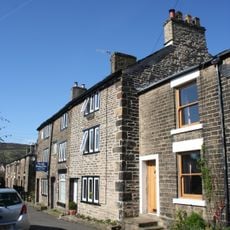
17, 19 and 21, Kinder Road
341 m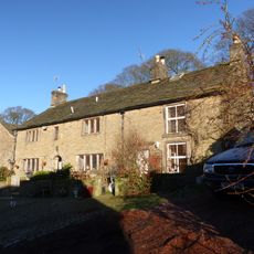
Booth Cottage Booth Farmhouse
1.3 km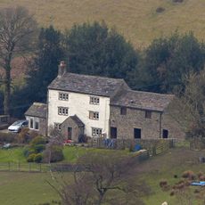
High Nightam
2.2 km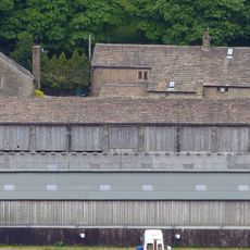
Hay barn to west of Marl House
1.9 km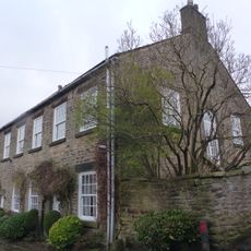
The Old School House
385 m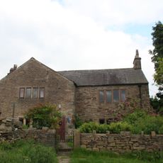
Ollersett Hall Farmhouse
3.2 km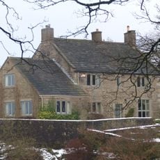
Stubbs
659 m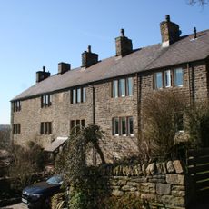
25, 27 and 29, Cote Lane
166 m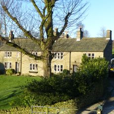
Ashes Farmhouse
1.6 km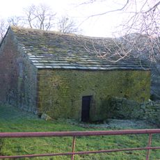
Barn To West Of Coldwell Clough Farmhouse
1.9 km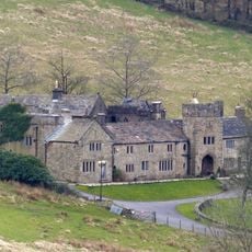
Upper House
2.3 km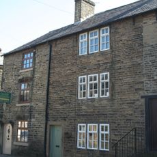
41, New Mills Road
633 m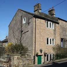
4, New Mills Road
415 m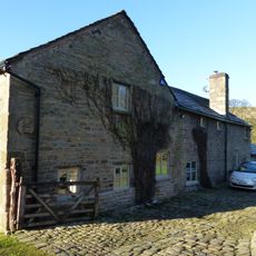
Brookhouses
2.2 kmReviews
Visited this place? Tap the stars to rate it and share your experience / photos with the community! Try now! You can cancel it anytime.
Discover hidden gems everywhere you go!
From secret cafés to breathtaking viewpoints, skip the crowded tourist spots and find places that match your style. Our app makes it easy with voice search, smart filtering, route optimization, and insider tips from travelers worldwide. Download now for the complete mobile experience.

A unique approach to discovering new places❞
— Le Figaro
All the places worth exploring❞
— France Info
A tailor-made excursion in just a few clicks❞
— 20 Minutes
