Enable Location

We need your location to show you interesting places around you

Discover nearby places

Find interesting locations and hidden gems around you

Precise directions

Get accurate directions and distances to places

Your location is never shared with other users. It's only used when you tap the location button.

High Peak

Log in to your account

Start exploring — it's free

Trusted by 61,793 travelers worldwide

Continue with Google
Continue with Apple
or

We will send you a code to connect

By continuing, you accept our Terms and Conditions and our Privacy Policy

Check your inbox

We've sent a pincode in your inbox. Please enter the code below.

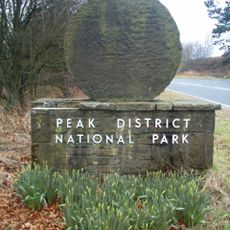
High Peak, Administrative district in Derbyshire, England.

Description

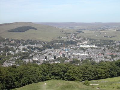
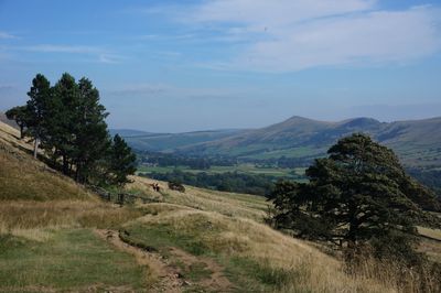
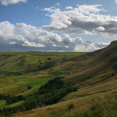
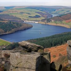
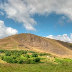
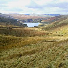
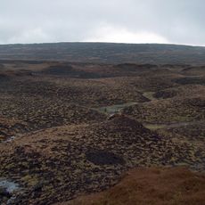
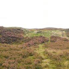
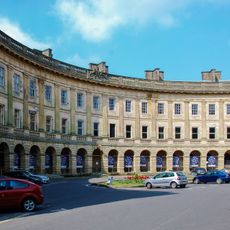
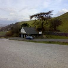
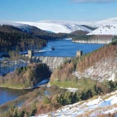
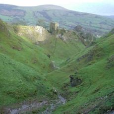
High Peak is an administrative district in Derbyshire covering a plateau landscape with open moorland, valleys, and stone-built villages scattered throughout. The area spans from lowland towns like Buxton and Glossop to wild upland terrain where heather and grassland dominate.

History

The district was created in 1974 by joining six separate administrative areas that had operated independently for generations. This reorganization brought together established centers of textile manufacturing and mining into one unified local authority.

Culture

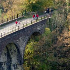
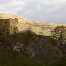
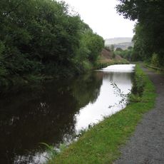
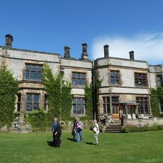
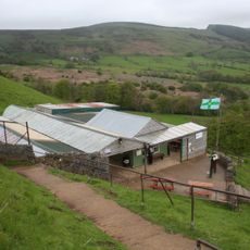
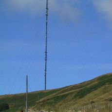
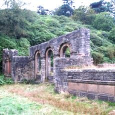
The district reflects its working heritage through textile mills, quarries, and stone-built settlements that shape how communities developed and connect today. Walking through villages and towns, you encounter architecture and local traditions that grew from these industries and remain visible in daily life.

Practical

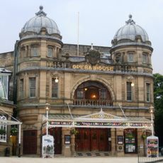
Two main administrative centers in Buxton and Glossop serve different parts of the district, making it easy to find local services depending on which area you are visiting. Roads connecting towns and villages are generally good, though remote moorland areas can be harder to reach and exploring by car is often practical.

Did you know?

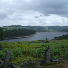
The area includes Kinder Scout, the highest point in Derbyshire at over 600 meters, drawing walkers and outdoor enthusiasts year-round. This prominent peak stands as a landmark for the entire Peak District and carries historical importance for the right to roam movement that shaped modern outdoor access.

Location
Inception
April 1, 1974
Capital city
Buxton
Shares border with
Derbyshire Dales, Stockport
GPS coordinates
53.35000,-1.85000
Latest update
December 20, 2025 13:50

AroundUs brings together thousands of curated places, local tips, and hidden gems, enriched daily by 60,000 contributors worldwide. Discover all places nearby (Derbyshire).

« High Peak - Administrative district in Derbyshire, England » is provided by Around Us (aroundus.com). Images and texts are derived from Wikimedia project under a Creative Commons license. You are allowed to copy, distribute, and modify copies of this page, under the conditions set by the license, as long as this note is clearly visible.

Discover hidden gems everywhere you go!

From secret cafés to breathtaking viewpoints, skip the crowded tourist spots and find places that match your style. Our app makes it easy with voice search, smart filtering, route optimization, and insider tips from travelers worldwide. Download now for the complete mobile experience.

Around Us App Screenshot

A unique approach to discovering new places

Le Figaro

All the places worth exploring

France Info

A tailor-made excursion in just a few clicks

20 Minutes

Around Us
Travel Guide & Maps
Download

Send to your phone

QR Code
1

Open the camera app on your mobile.

2

Point at the QR code with your camera. A notification will appear.

3

Tap the notification to open the link.