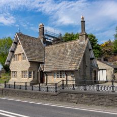
Holme Moss, Moorland in South Pennines, England.
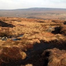
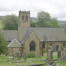
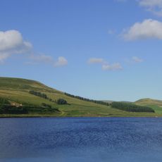
Holme Moss is moorland in the South Pennines that rises to 524 meters above sea level. Its slopes are covered with heather and peat bogs spread across the border between Yorkshire and Derbyshire.
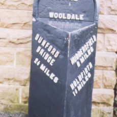
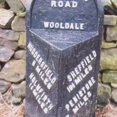
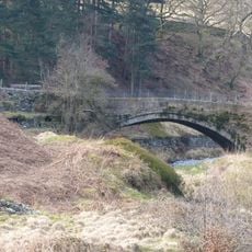
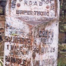
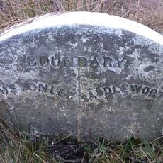
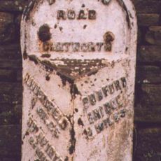
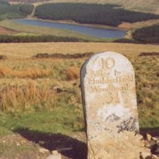
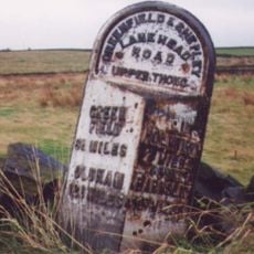
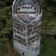
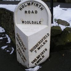
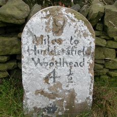
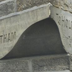
The A6024 road was built through the moorland in the early 20th century to connect isolated communities. This route established direct transport between Holmfirth and Longdendale.
The 2014 Tour de France second stage crossed Holme Moss, with French cyclist Blel Kadri leading at the summit during the 201-kilometer route.
The road crossing the moorland often closes in winter due to snow, making passage impossible. It is wise to check weather conditions and consider alternative routes when snow is expected.
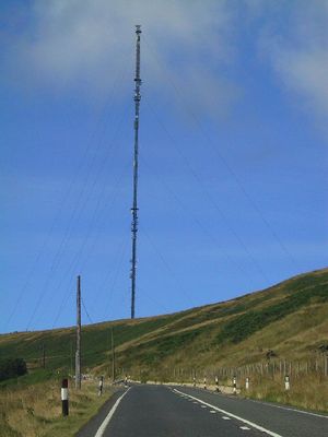
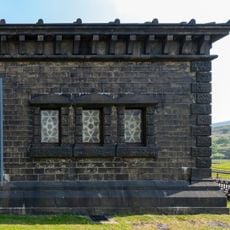
A radio transmitter sits at the summit broadcasting FM and DAB signals across a wide region. The transmitter reaches listeners spanning Yorkshire, Manchester, Cheshire, and Nottinghamshire.
The community of curious travelers
AroundUs brings together thousands of curated places, local tips, and hidden gems, enriched daily by 60,000 contributors worldwide.