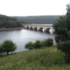
Howden Reservoir, reservoir in the United Kingdom
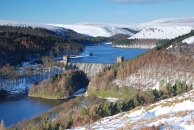
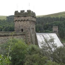
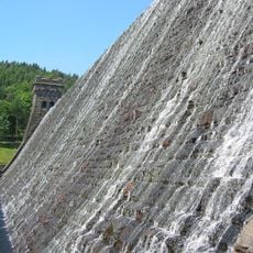
Howden Reservoir is a drinking water reservoir in the Upper Derwent Valley in Derbyshire, within the Peak District. It is held back by a stone dam built in the early 1900s and collects water from the River Derwent and its tributaries.
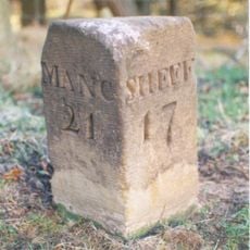
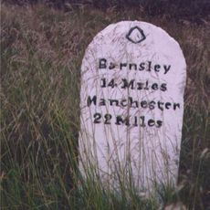
The reservoir was built between 1901 and 1912 to supply drinking water to Sheffield, Derby, Leicester, and Nottingham as those cities grew rapidly. It was the first in a series of dams constructed in the Upper Derwent Valley within a short span of time.
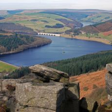
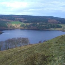
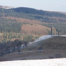
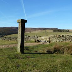
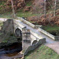
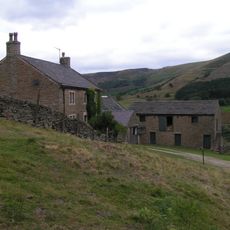
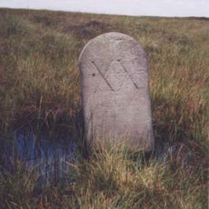
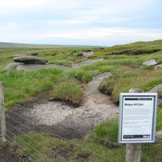
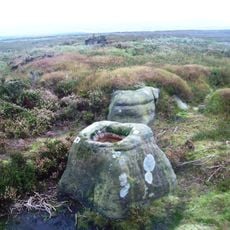
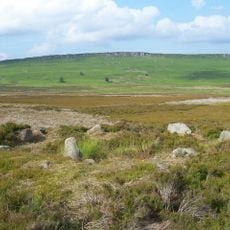
The reservoir sits within the Peak District National Park and draws walkers, cyclists, and people looking for a day out in open country. The valley around it has a particular character that feels distant from urban life even though large cities are not far away.
A path runs around the reservoir and gives changing views of the water and surrounding hills throughout the walk. The ground can be soft and muddy after rain, so solid walking footwear is a good idea.
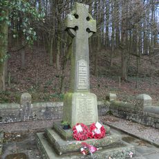
During the Second World War, RAF bomber crews used the nearby dams in the Upper Derwent Valley to practice low-level flying because the landscape closely resembled the Ruhr Valley in Germany. This training helped prepare them for the famous dam raids of 1943.
The community of curious travelers
AroundUs brings together thousands of curated places, local tips, and hidden gems, enriched daily by 60,000 contributors worldwide.