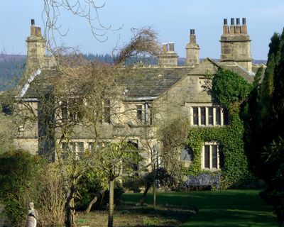
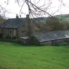
Sugworth Hall, English country house in Bradfield, United Kingdom
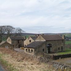
Sugworth Hall is a country house built from squared sandstone and gritstone, with a roof covered in stone slate and featuring distinctive chimneys. The building incorporates both early construction phases and later additions from the Victorian period onward.
The house first appears in written records through Robert Hawksworth's will dating to the 1560s, when his family lived there for several generations. In the early 1900s, engineer Charles Boot transformed it by adding a tower and battlements designed by architect E. Vincent Harris.
The hall displays traditional English country house architecture that reflects different periods layered together in its structure and design. Visitors can observe how each era left its mark on the building's appearance and overall character.
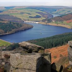
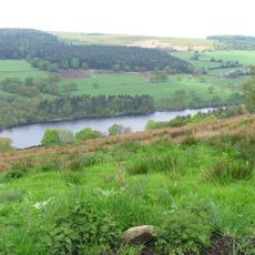
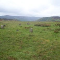
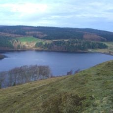
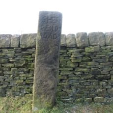
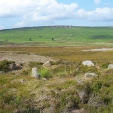
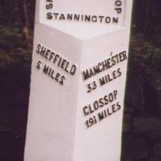
The hall sits in Bradfield Dale, a steep-sided valley in the Pennines region, about 8 miles from Sheffield City Centre within the Peak District. It is best visited by car or as part of a walking route through the surrounding moorlands and valleys.
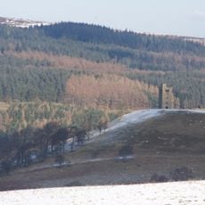
The tower and battlements added in the early 1900s give the house a castle-like appearance that sets it apart from typical country houses in the area. This addition transformed what was a modest farmhouse into something with much grander architectural ambitions.
The community of curious travelers
AroundUs brings together thousands of curated places, local tips, and hidden gems, enriched daily by 60,000 contributors worldwide.