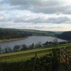
Dale Dike Reservoir, Reservoir in Peak District, England
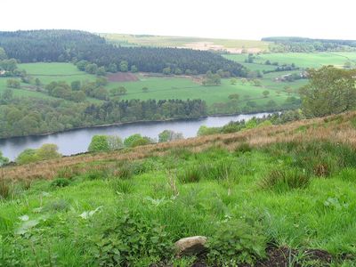
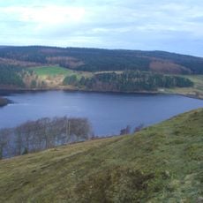
Dale Dike Reservoir is a body of water in the Peak District that forms part of a chain between Strines and Damflask. The current dam holds back a substantial volume, with the water contained within a structure built decades after the original site.
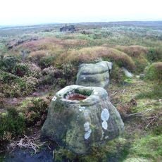
The original dam was completed in 1863 but collapsed catastrophically in 1864, causing a major flood disaster. A replacement dam was built shortly after on a different location upstream.
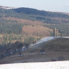
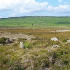
The reservoir reflects Victorian engineering approaches and the role water management played in Sheffield's industrial growth. Walking around it, you encounter a structure that shaped how the region developed.
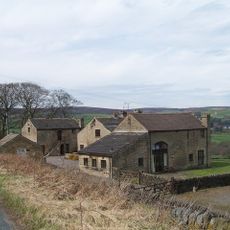
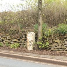
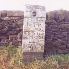
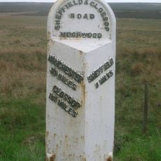
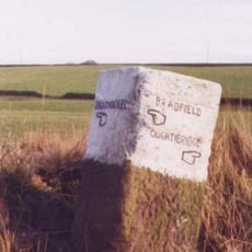
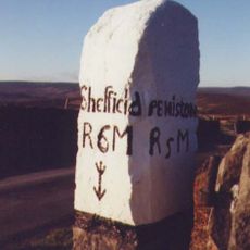
A circular path allows you to walk around the water and explore the area on foot. Parking is available along Mortimer Road near the Strines Inn for those arriving by car.
The current dam was constructed decades after the disaster at a new location with improved safety design. This reconstruction represented one of the era's most advanced engineering achievements in dam construction.
Location: Bradfield
Elevation above the sea: 211 m
GPS coordinates: 53.41778,-1.64111
Latest update: December 8, 2025 19:53
Church of St Nicholas, Bradfield
3 km
Strines Reservoir
1.3 km
Sugworth Hall
1.8 km
Hallfield House
564 m
Monastery of The Holy Spirit, Sheffield
4.7 km
Fair House Farmhouse
2.1 km
Moscar Cross
3.1 km
Sugworth Tower
1.6 km
Edgefield Monument
1.6 km
Guidepillar At Junction With Lumb Lane, Onesmoor Bottom And Onesacre Road On West Side Of Junction
4.7 km
Fox Holes Farmhouse, Attached Farmbuildings And Linking Walls
2.4 km
Take Off Stone Approx 85 Metres To North Of Strines Public House
1.8 km
Guide Pillar At Junction With Brightolmlee Road And Peat Pits Lane On South Side Of Junction
4.5 km
Mile Post Approximately 90 Metres West Of Driveway To Swinglee Ford
4.5 km
Guide Pillar At Junction With Burnt Hill Lane, East Side Of Junction
4.9 km
Guide Pillar At Junction With Walker Edge, Green Lane And White Lee Lane, On South West Side Of Junction
4.7 km
Milepost Approximately 80 Metres West Of Driveway To Moscar Cross Farm
3.3 km
Guide Pillar At Junction With Onesmoor Road On West Side Of Junction
4.4 km
Guide Pillar At Junction With Mortimer Road On South Side Of Junction
3.6 km
Stone circle, 960m north east of High Lees Farm
5 km
Wayside cross on Bradfield Moor known as New Cross
2.8 km
Mile Post Approximately 140 Metres East Of Black Rock
3.6 km
Guide Pillar At Junction With Peat Pits Lane, On North East Side Of Junction
4 km
Guide Pillar At Handsome Cross On North Side Of Road
3.5 km
Guidestone, Sheepfold, SW of Moscar House Farm
4.1 km
Guidestone, Wet Shaw Lane, jct with Stake Hill Road
1 km
Damflask Reservoir
3.8 km
Church Cottage Vestry Cottage Wesley Cottage
3.1 kmVisited this place? Tap the stars to rate it and share your experience / photos with the community! Try now! You can cancel it anytime.
Discover hidden gems everywhere you go!
From secret cafés to breathtaking viewpoints, skip the crowded tourist spots and find places that match your style. Our app makes it easy with voice search, smart filtering, route optimization, and insider tips from travelers worldwide. Download now for the complete mobile experience.
A unique approach to discovering new places❞
— Le Figaro
All the places worth exploring❞
— France Info
A tailor-made excursion in just a few clicks❞
— 20 Minutes