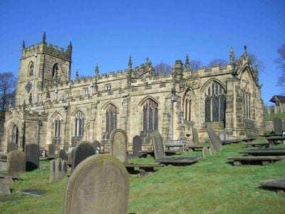
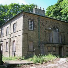
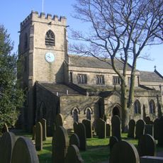
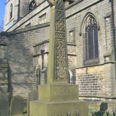
Church of St Nicholas, Bradfield, Medieval church in Bradfield, England.
The Church of St Nicholas is a medieval structure in Bradfield that sits on elevated ground with views outward to the surrounding landscape. The building displays different architectural styles because it was enlarged and modified over several centuries.
The building began in the 12th century when the first walls were constructed, and later received additions such as a square bell tower in the 14th century. By the 15th century it underwent redesign with Gothic style forms.
The interior holds stained glass windows from different periods that filter light in distinctive ways as you walk through the space. These windows shape how visitors experience and perceive the room around them.
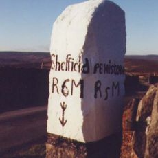
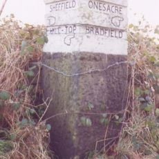
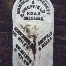
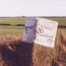
Access is possible via footpaths leading uphill from the village with a gradual rise in elevation. You should wear appropriate footwear since the ground can be uneven or wet depending on the season.
The bell tower holds eight bells cast by a historic bellmaking foundry that ring out on special occasions. These bells have been part of the local soundscape for generations and mark significant days throughout the year.
The community of curious travelers
AroundUs brings together thousands of curated places, local tips, and hidden gems, enriched daily by 60,000 contributors worldwide.