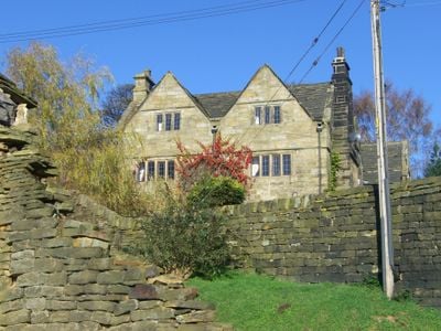
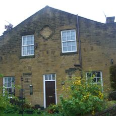
Onesacre Hall, Grade II* listed manor in Bradfield, England
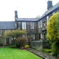
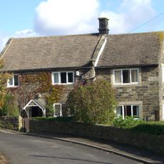
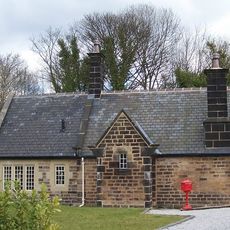
Onesacre Hall is a manor house built from ashlar sandstone with an H-shaped floor plan in Bradfield. The structure rises two stories with an attic level and features a slate roof along with stone mullion windows that extend across both main floors.
The building developed in two phases between 1630 and 1670, initially known as Tophill Farmhouse during the earliest period. Both construction stages eventually merged into the single estate that stands today.
The hall retains original 17th-century architectural details that visitors can observe in its windows, doors, and interior spaces. The craftsmanship of the period is evident in the carved decorations and the substantial kitchen fireplace.
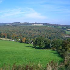
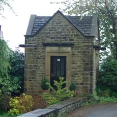
The estate sits in a rural setting with an associated listed barn located nearby on the grounds. Access to this private building may be restricted, so visitors should check locally before planning a visit.
The exterior displays distinctive stonework including drip mouldings on each floor and carved gable ornaments with bases for roof finials. These refined masonry details reflect the quality of craftsmanship from the period and reward close observation.
The community of curious travelers
AroundUs brings together thousands of curated places, local tips, and hidden gems, enriched daily by 60,000 contributors worldwide.