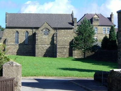
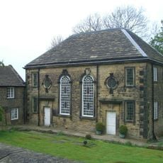
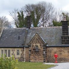
Monastery of The Holy Spirit, Sheffield, Catholic monastery in Worrall, England
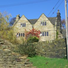
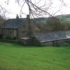
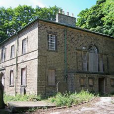
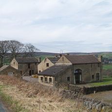
The Monastery of The Holy Spirit is a Carmelite convent situated on Kirk Edge Road between Worrall and High Bradfield, featuring traditional Catholic ecclesiastical design. The site contains multiple buildings set within large gardens and grounds that form a working monastic community.
The building opened in 1871 as an orphanage for Catholic boys operated by the Sisters of Charity. The Carmelites took over the property in 1911 and established it as their monastic community.
The name reflects the Carmelites' spiritual focus on prayer and inner contemplation in a secluded rural setting. Visitors sense the quietness and withdrawal from the outside world that shapes the daily rhythm of those who live here.
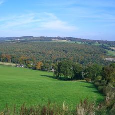
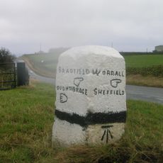
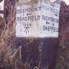
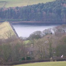
The site is located in a rural area and best reached by car, though public transport options are limited in this remote location. Planning ahead is essential since the community follows a strict daily schedule that affects visiting hours.
Water for the monastery originally came from a windmill system that pumped supplies from lower valley levels, creating operational difficulties. This unusual water supply method reflects the challenges of maintaining a self-sufficient community in a remote location.
GPS coordinates: 53.42605,-1.57220
Latest update: December 13, 2025 11:48
Church of St Nicholas, Bradfield
1.8 km
Loxley House
3.6 km
Beeley Wood
3.1 km
Onesacre Hall
1.7 km
Little Matlock Rolling Mill
3.7 km
Fair House Farmhouse
2.5 km
Loxley United Reformed Church
2.7 km
Underbank Chapel
3.7 km
Edgefield Monument
3.2 km
Guidepillar At Junction With Lumb Lane, Onesmoor Bottom And Onesacre Road On West Side Of Junction
1.3 km
Milepost Approximately 50 Metres North Of Junction With Stockarth Lane
3.4 km
Fox Holes Farmhouse, Attached Farmbuildings And Linking Walls
2.4 km
64, Towngate Road
2.1 km
Guide Pillar At Junction With Walker Edge, Green Lane And White Lee Lane, On South West Side Of Junction
3.1 km
Guide Pillar At Junction With Brightolmlee Road And Peat Pits Lane On South Side Of Junction
1.8 km
Guide Pillar At Junction With Burnt Hill Lane, East Side Of Junction
361 m
Guide Pillar At Junction With Brightholmlee Road On South West Side Of Junction
2.9 km
Glen Howe Packhorse Bridge, Approximately 100 Metres Upstream Of Cottage
2.2 km
Packhorse Bridge Over River Loxley At Croft House
3.1 km
Guide Pillar At Junction With Onesmoor Road On West Side Of Junction
2.4 km
Sewer Gas Lamp 15 Metres South Of Number 237 (Number 237 Not Included)
3.7 km
Guide Pillar At Handsome Cross On North Side Of Road
3.1 km
Guide Pillar At Junction With Long Lane, On South East Side Of Junction
2.3 km
Milepost At Conjunction With Langsett Road North
2.5 km
Guide Pillar At Junction With Peat Pits Lane, On North East Side Of Junction
1.7 km
Oughtibridge Station
2.9 km
Agden Reservoir
2.5 km
Damflask Reservoir
1.7 kmVisited this place? Tap the stars to rate it and share your experience / photos with the community! Try now! You can cancel it anytime.
Discover hidden gems everywhere you go!
From secret cafés to breathtaking viewpoints, skip the crowded tourist spots and find places that match your style. Our app makes it easy with voice search, smart filtering, route optimization, and insider tips from travelers worldwide. Download now for the complete mobile experience.
A unique approach to discovering new places❞
— Le Figaro
All the places worth exploring❞
— France Info
A tailor-made excursion in just a few clicks❞
— 20 Minutes