Peak District National Park, National park in central-northern England, Great Britain
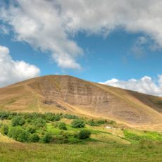
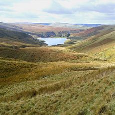
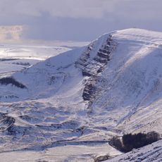
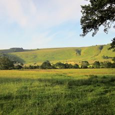
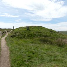
Peak District National Park is a national park in central-northern England comprising limestone valleys, gritstone escarpments, and moorland plateaus at the southern end of the Pennines. The terrain varies across this large upland area, creating diverse landscapes where visitors encounter different rock types and vegetation zones.
Parliament established this as the first national park of England and Wales in 1951 to protect the landscape from industrial expansion. The decision reflected growing concern about preserving natural areas as industries were changing the surrounding regions.
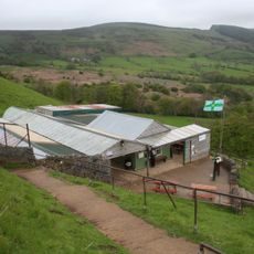
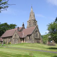
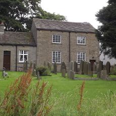
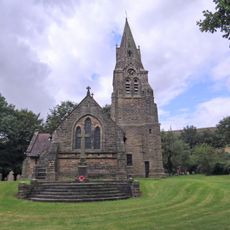
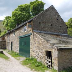
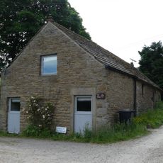
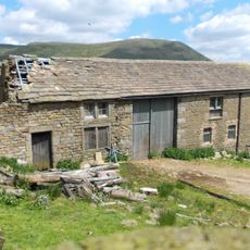
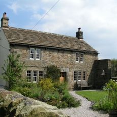
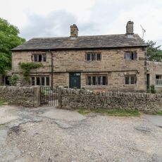
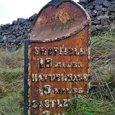
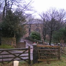
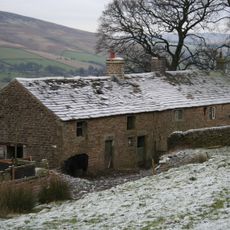
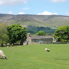
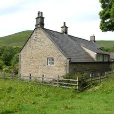
Shepherding traditions shape how the hills are used today, with villages displaying medieval buildings and customs passed down through families. The working landscape itself reflects centuries of people living and farming in this region.
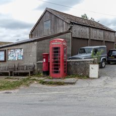
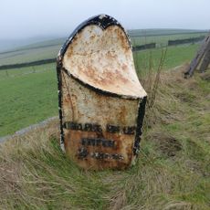
The park provides thousands of kilometers of walking trails and multiple parking areas at different entry points throughout the region. Bring waterproof clothing since the elevated terrain and open hills create changing weather conditions throughout the day.
Castleton mines produce Blue John, a purple and yellow banded mineral found nowhere else on Earth, mined and shaped into decorative objects since Roman times. This rare stone became particularly treasured by collectors during the 1700s and remains special to the area today.
The community of curious travelers
AroundUs brings together thousands of curated places, local tips, and hidden gems, enriched daily by 60,000 contributors worldwide.