
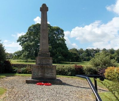
Miserden War Memorial, war memorial in Miserden, Gloucestershire, England
Location: Miserden
Architects: Edwin Lutyens
GPS coordinates: 51.77859,-2.09387
Latest update: March 4, 2025 23:52
Brimpsfield Castle
3.9 km
Edgeworth Manor
3.2 km
Miserden Castle
861 m
Rough Bank, Miserden
2.9 km
Juniper Hill, Edgeworth
3.1 km
Church of St Mary
3.2 km
Church of St Bartholomew
3 km
Davenport House
3.6 km
Church of St Mary the Virgin
2.3 km
Church of St Andrew
45 m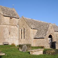
Church of St Peter
3.6 km
Unidentified monument in the churchyard approximately 2m south of porch to Church Of St Bartholomew
3 km
Foston's Ash Inn
3.3 km
Unidentified monument in the churchyard approximately 4.5m south of chancel to Church of St Bartholomew
3 km
Whitehead's Well
3.9 km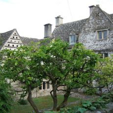
Througham Court
1.8 km
High Cottages
2.6 km
Morcombe Farmhouse
1.6 km
Barn approximately 3m north west of Croft Farmhouse
2.8 km
Manor Farmhouse
3 km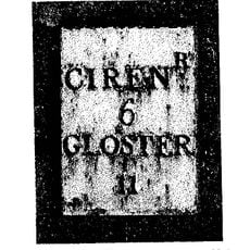
Milestone
3.7 km
Churchyard cross in St Mary's churchyard
3.2 km
Caudle Green Farmhouse
1.7 km
Well Hill
3.6 km
Barn and garages approximately 10m north of Croft Farmhouse
2.8 km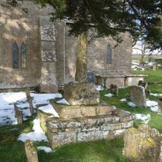
Churchyard cross in St Bartholomew's churchyard
3 km
Througham Slad Farmhouse Including 2 Walled Courtyards With Gate Pier
2.7 km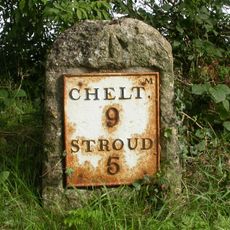
Milestone, Sheepscombe; 250m W crossroads to Sheepscombe & Miserden
3.5 kmVisited this place? Tap the stars to rate it and share your experience / photos with the community! Try now! You can cancel it anytime.
Discover hidden gems everywhere you go!
From secret cafés to breathtaking viewpoints, skip the crowded tourist spots and find places that match your style. Our app makes it easy with voice search, smart filtering, route optimization, and insider tips from travelers worldwide. Download now for the complete mobile experience.

A unique approach to discovering new places❞
— Le Figaro
All the places worth exploring❞
— France Info
A tailor-made excursion in just a few clicks❞
— 20 Minutes