Miserden Castle, Norman motte and bailey castle in Gloucestershire, England
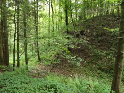
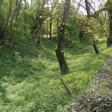
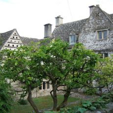
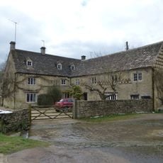
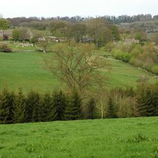
Miserden Castle is a Norman motte and bailey fortification in Gloucestershire featuring a stone-walled shell keep crowning a rocky ridge. The site is situated within parkland near the River Frome valley, where weathered stonework still marks the boundaries of the original structure.
Robert Musard founded the castle around 1100 as part of establishing Norman control in Gloucestershire. The site was taken by forces during the civil war period of King Stephen's reign, marking the beginning of its decline as a military stronghold.
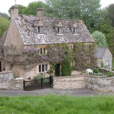
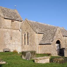
The fortress appears in literary works and remains connected to the region's medieval past through local memory and stories. Visitors today encounter it as part of a larger estate landscape that has preserved the site for centuries.
The remains are accessed through Miserden Park, which welcomes visitors during the warmer months. Ground conditions can be uneven, so sturdy footwear helps when exploring the castle foundations and surrounding grounds.
The fortress inspired scenes in a mystery novel set during the medieval period, bringing the 12th century battles to a modern reading audience. This literary connection has kept local memories of the castle alive beyond what archaeology alone might have accomplished.
Location: Gloucestershire
GPS coordinates: 51.78190,-2.08256
Latest update: December 9, 2025 12:27
Brimpsfield Castle
3.5 km
Edgeworth Manor
3.4 km
Five Mile House
3.4 km
Miserden War Memorial
861 m
Church of St Mary
3.3 km
Church of St Bartholomew
2.2 km
Davenport House
3.1 km
Church of St Mary the Virgin
1.7 km
Church of St Andrew
841 m
Church of St Peter
3 km
Unidentified monument in the churchyard approximately 2m south of porch to Church Of St Bartholomew
2.2 km
Unidentified monument in the churchyard approximately 4.5m south of chancel to Church of St Bartholomew
2.2 km
Whitehead's Well
3.3 km
Turner's
3.5 km
Througham Court
2.7 km
High Cottages
1.7 km
Morcombe Farmhouse
1.2 km
Barn approximately 3m north west of Croft Farmhouse
2 km
Milestone
2.8 km
Manor Farmhouse
2.2 km
Churchyard cross in St Bartholomew's churchyard
2.2 km
Caudle Green Farmhouse
1.3 km
Trustams Mead
3.5 km
Duntisbourne Leer Farmhouse
3.5 km
Well Hill
3 km
Barn and garages approximately 10m north of Croft Farmhouse
2 km
Churchyard cross in St Mary's churchyard
3.3 km
Througham Slad Farmhouse Including 2 Walled Courtyards With Gate Pier
3.4 kmVisited this place? Tap the stars to rate it and share your experience / photos with the community! Try now! You can cancel it anytime.
Discover hidden gems everywhere you go!
From secret cafés to breathtaking viewpoints, skip the crowded tourist spots and find places that match your style. Our app makes it easy with voice search, smart filtering, route optimization, and insider tips from travelers worldwide. Download now for the complete mobile experience.
A unique approach to discovering new places❞
— Le Figaro
All the places worth exploring❞
— France Info
A tailor-made excursion in just a few clicks❞
— 20 Minutes