
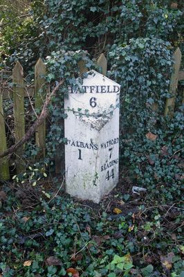
Milepost Between Numbers 10 And 12, On Opposite Side Of Road
Milepost Between Numbers 10 And 12, On Opposite Side Of Road, milestone in St. Albans, Hertfordshire, UK
Location: St Albans
Inception: 1820
GPS coordinates: 51.74282,-0.34661
Latest update: March 19, 2025 22:20
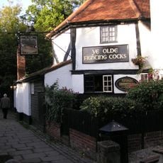
Ye Olde Fighting Cocks
677 m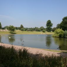
Verulamium Park
723 m
Sopwell Priory
851 m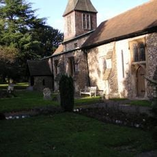
St. Stephen's Church, St. Albans
168 m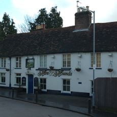
Hare And Hounds Public House
883 m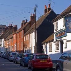
The White Lion Public House
871 m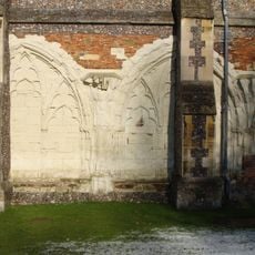
St Albans Abbey
742 m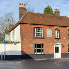
The King Harry Public House
210 m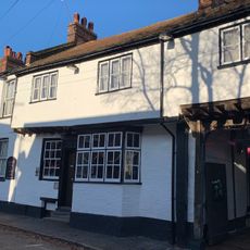
The Goat Inn
848 m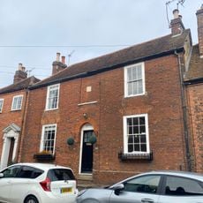
81 And 81A, Sopwell Lane
866 m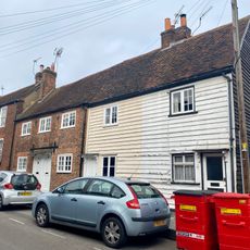
83-89, Sopwell Lane
867 m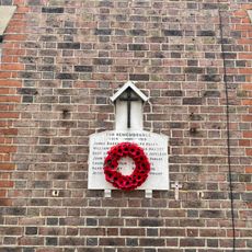
War Memorial Plaque Attached to 80 and 82 Sopwell Lane
850 m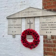
War Memorial Plaque Attached to 1 Bardwell Road and 22 Thorpe Road
809 m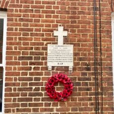
War Memorial Plaque Attached to 34 and 36 Albert Street
866 m
79, Sopwell Lane
864 m
58, Holywell Hill
789 m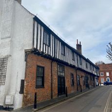
2, Sopwell Lane
811 m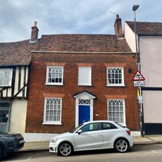
56, Holywell Hill
802 m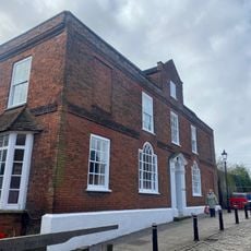
The Old Rectory
876 m
36, Sopwell Lane
823 m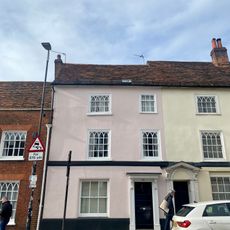
52 And 54, Holywell Hill
808 m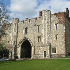
Abbey Gate House
884 m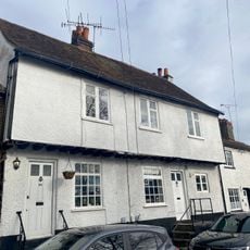
53 And 55, Sopwell Lane
854 m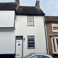
71, Sopwell Lane
858 m
Number 27 Including Gates And Gatepiers Adjoining South Side
877 m
63-69, Sopwell Lane
858 m
Holywell Lodge
780 m
Torrington House
730 mReviews
Visited this place? Tap the stars to rate it and share your experience / photos with the community! Try now! You can cancel it anytime.
Discover hidden gems everywhere you go!
From secret cafés to breathtaking viewpoints, skip the crowded tourist spots and find places that match your style. Our app makes it easy with voice search, smart filtering, route optimization, and insider tips from travelers worldwide. Download now for the complete mobile experience.

A unique approach to discovering new places❞
— Le Figaro
All the places worth exploring❞
— France Info
A tailor-made excursion in just a few clicks❞
— 20 Minutes