
Milepost At Os 169 707, milestone in Taddington, Derbyshire Dales, Derbyshire, UK
Location: Taddington
Inception: 19 century
GPS coordinates: 53.23292,-1.74776
Latest update: March 9, 2025 03:49


Monsal Trail
1.7 km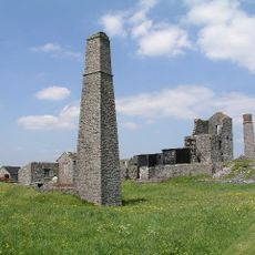
Magpie Mine
2.6 km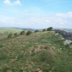
Fin Cop
547 m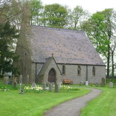
St Michael and All Angels' Church, Sheldon
1.9 km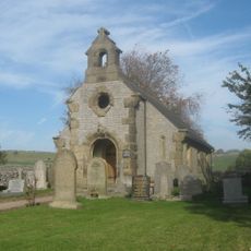
Congregational Chapel
2.1 km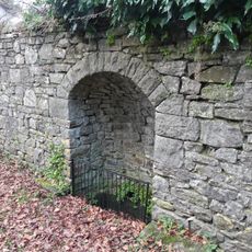
Well to north of Riverside Hotel
2.6 km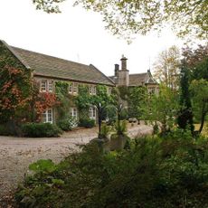
Riverside Hotel
2.7 km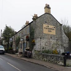
Pack Horse Inn
2.3 km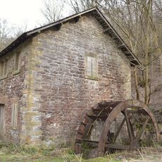
Ashford Bobbin Mill, West Building
1.6 km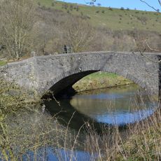
Bridge to north of Ashford Bobbin Mill
1.6 km
Stocks
2.6 km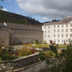
Cressbrook Mill
2.1 km
Headstone Viaduct
1.6 km
Ashford Bobbin Mill, East Building
1.7 km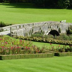
Bridge at The Rookery
2.5 km
The Stocks
2.6 km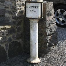
Milepost at OS 143 711
2.7 km
The Rookery
2.5 km
Coach house and stables east of The Rookery
2.5 km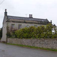
The Hall
2.3 km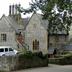
The Vicarage
2.6 km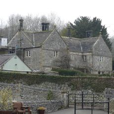
Manor House
2.5 km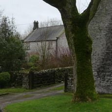
Holme Deene
2.1 km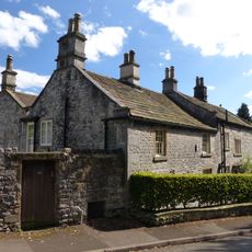
The Elms
2.6 km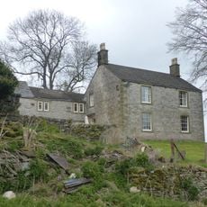
Taddington Field Farmhouse
866 m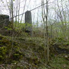
Putwell Hill Mine
1.2 km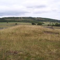
White Cliff bowl barrow
1.9 km
Stable block to west of Manor House
2.4 kmReviews
Visited this place? Tap the stars to rate it and share your experience / photos with the community! Try now! You can cancel it anytime.
Discover hidden gems everywhere you go!
From secret cafés to breathtaking viewpoints, skip the crowded tourist spots and find places that match your style. Our app makes it easy with voice search, smart filtering, route optimization, and insider tips from travelers worldwide. Download now for the complete mobile experience.

A unique approach to discovering new places❞
— Le Figaro
All the places worth exploring❞
— France Info
A tailor-made excursion in just a few clicks❞
— 20 Minutes