
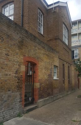
Former Bethnal Green British School, building in Tower Hamlets, Greater London, UK
Location: London Borough of Tower Hamlets
GPS coordinates: 51.52455,-0.06512
Latest update: March 5, 2025 18:17
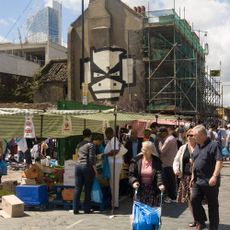
Brick Lane Market
457 m
Oxford House
339 m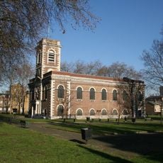
St Matthew, Bethnal Green
168 m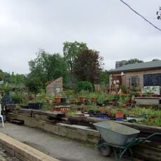
Spitalfields City Farm
312 m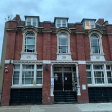
Bethnal Green Working Mens Club
406 m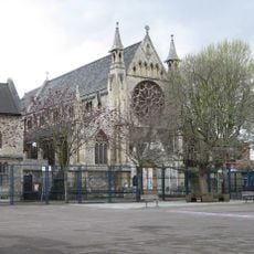
Church of St Anne (roman Catholic)
430 m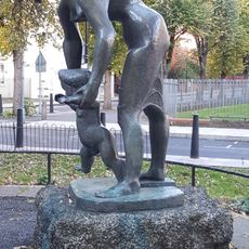
Lesson
430 m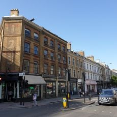
123-159, Bethnal Green Road E2
429 m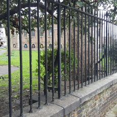
Railings, Wall, Gate Piers To Churchyard Of St Matthew's Church
194 m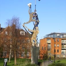
Weaving Identities
298 m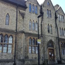
St Anne's Presbytery
412 m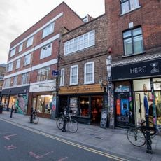
149, Brick Lane E1
461 m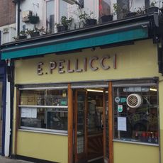
E. Pellicci Cafe
239 m
35, Buxton Street E1
420 m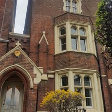
St James Vicarage
288 m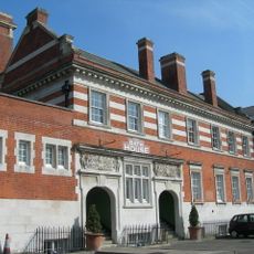
Cheshire Street Baths
32 m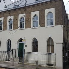
20 St Mathews Row
216 m
14-22, Deal Street E1
455 m
Parish Watch House At South West Corner Of Churchyard
167 m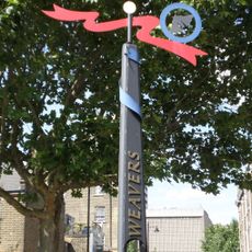
Weavers Fields Signage
309 m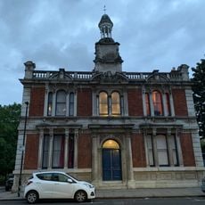
1-15, Ivimey Street E2
376 m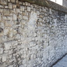
Garden Wall At St Anne's Presbytery
421 m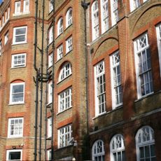
Weavers Field School
199 m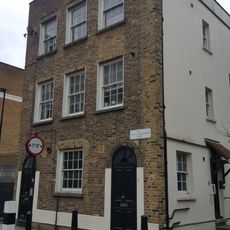
35, St Matthew's Row
184 m
21 And 23, Three Colts Lane E2
433 m
2-38, Cheshire Street E2
391 m
Former Bethnal Green British School
22 m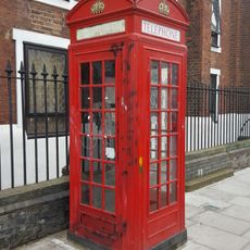
Western K2 Telephone Kiosk Outside Church Of St James
267 mVisited this place? Tap the stars to rate it and share your experience / photos with the community! Try now! You can cancel it anytime.
Discover hidden gems everywhere you go!
From secret cafés to breathtaking viewpoints, skip the crowded tourist spots and find places that match your style. Our app makes it easy with voice search, smart filtering, route optimization, and insider tips from travelers worldwide. Download now for the complete mobile experience.

A unique approach to discovering new places❞
— Le Figaro
All the places worth exploring❞
— France Info
A tailor-made excursion in just a few clicks❞
— 20 Minutes