
Cross socket by south east entrance of St Michael's Churchyard
Cross socket by south east entrance of St Michael's Churchyard, churchyard cross in Barningham, County Durham, UK
Location: Barningham
Part of: Medieval church site and churchyard cross, 10m south and 40m south east of St Michael's Church
GPS coordinates: 54.48903,-1.86929
Latest update: April 11, 2025 10:35
Rokeby Park
3.7 km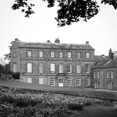
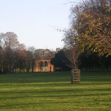
Barningham Park
212 m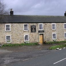
Milbank Arms
63 m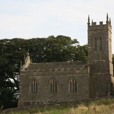
Church of St Mary
2.3 km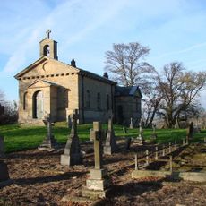
Church of St Mary
3.6 km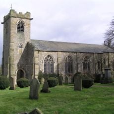
Church of St. Michael
45 m
Roman Catholic Church of St Mary
4.6 km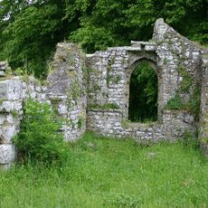
Ruins of Old Church of St Mary
2 km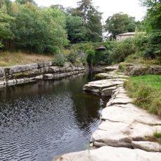
Dairy Bridge Over The River Greta
4 km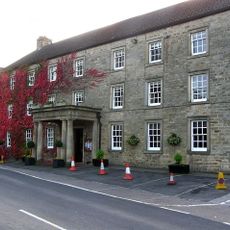
The Morritt Arms Hotel
2.9 km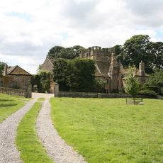
Mortham Tower
3.8 km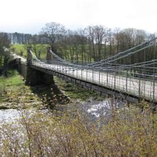
Whorlton Bridge
4.7 km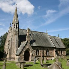
St Mary's Church, Whorlton
4.8 km
Dunsa Manor
4.7 km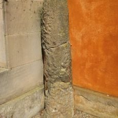
Roman Milestone Against West Wall Of Rokeby Park
3.8 km
Newsham War Memorial, Richmondshire
2.2 km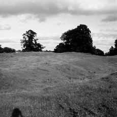
Greta Bridge Roman fort, vicus and section of Roman road
2.8 km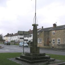
Market Cross And Stocks
2.1 km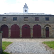
Stable Block 180 Metres South West Of Rokeby Park
3.7 km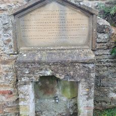
Water Tap And Tablet Opposite Oak Tree Inn
4.6 km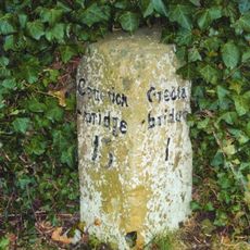
Milestone 30 Metres South East Of Thorpe Grange Farmhouse
2.4 km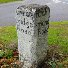
Guide Post Opposite Smallways Inn
2.7 km
Farmbuildings To East Of Mortham Tower And Attached Walls
3.8 km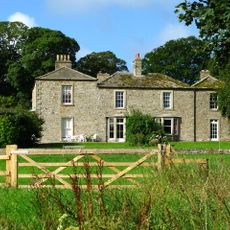
Brignall Grange
2.2 km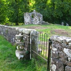
Churchyard Wall Around Old Church Of St Mary
2 km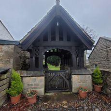
Lych Gate to Church of St Mary
4.6 km
Wycliffe Old Rectory
4.9 km
Greta Bridge
2.7 kmReviews
Visited this place? Tap the stars to rate it and share your experience / photos with the community! Try now! You can cancel it anytime.
Discover hidden gems everywhere you go!
From secret cafés to breathtaking viewpoints, skip the crowded tourist spots and find places that match your style. Our app makes it easy with voice search, smart filtering, route optimization, and insider tips from travelers worldwide. Download now for the complete mobile experience.

A unique approach to discovering new places❞
— Le Figaro
All the places worth exploring❞
— France Info
A tailor-made excursion in just a few clicks❞
— 20 Minutes