
Unidentified Monument In The Churchyard Approximately 2 Metres West Of Porch To Church Of St John The Baptist
Unidentified Monument In The Churchyard Approximately 2 Metres West Of Porch To Church Of St John The Baptist, monument in Randwick, Stroud, Gloucestershire, UK
Location: Randwick and Westrip
GPS coordinates: 51.75868,-2.25162
Latest update: April 2, 2025 12:07
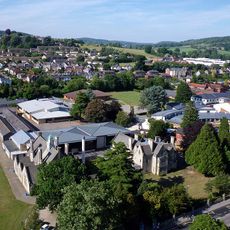
Marling School
1.9 km
Stratford Park
2.2 km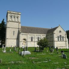
Church of St Paul
1.3 km
Church of St John the Baptist
18 m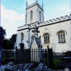
Church of St Matthew
1.8 km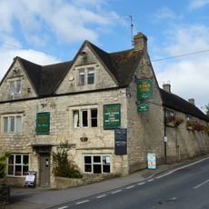
Star Inn
1.3 km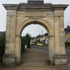
Archway, Formerly To Farm Hill Park
1.4 km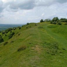
Haresfield Hill camp and Ring Hill earthworks
2.3 km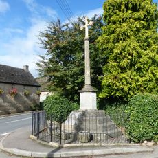
Whiteshill War Memorial
1.3 km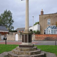
Stonehouse War Memorial
2.5 km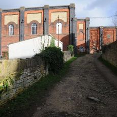
Lodgemoor Mills
2.4 km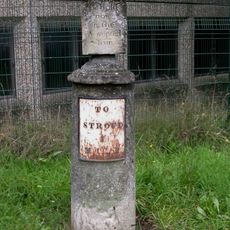
Sundial And Milepost
1.9 km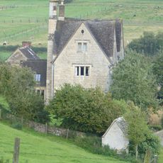
Privy approximately 30 metres west of Stokenhill Farmhouse
1.8 km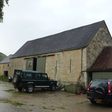
Barn approximately 10 metres south of Ruscombe Farmhouse
816 m
Gate screen approximately 18 metres south of Pitchcombe House
2.6 km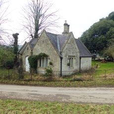
Lodge to Hawkwood College
2.5 km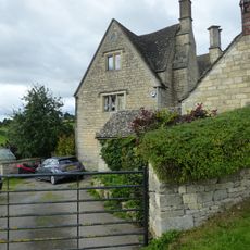
Stokenhill Farmhouse
1.9 km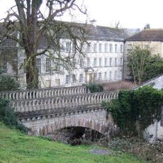
Lodgemoor Mills Bridge
2.4 km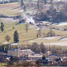
Ebley Mill
2.1 km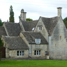
Rock Mill House
2.1 km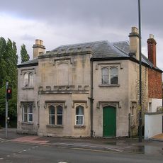
23 And 25, Westward Road
1.9 km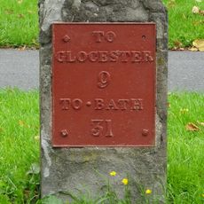
Milestone
2.5 km
Nos 1 and 2 (Gannicox House) and No 3
2.2 km
Lodgemoor Mills Office Block
2.3 km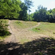
Randwick Hill long barrow, round barrows and dyke
306 m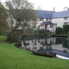
Little Mill
2.4 km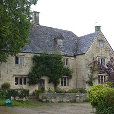
Ruscombe Farmhouse
802 m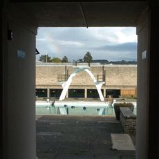
Stratford Park Diving Platform
2 kmReviews
Visited this place? Tap the stars to rate it and share your experience / photos with the community! Try now! You can cancel it anytime.
Discover hidden gems everywhere you go!
From secret cafés to breathtaking viewpoints, skip the crowded tourist spots and find places that match your style. Our app makes it easy with voice search, smart filtering, route optimization, and insider tips from travelers worldwide. Download now for the complete mobile experience.

A unique approach to discovering new places❞
— Le Figaro
All the places worth exploring❞
— France Info
A tailor-made excursion in just a few clicks❞
— 20 Minutes