
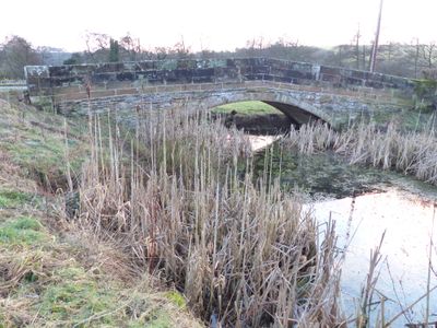
St Marys Bridge, Grade II listed bridge in Thorpe, Derbyshire Dales, Derbyshire, DE6
Location: Thorpe
Inception: 1790
GPS coordinates: 53.05136,-1.78314
Latest update: September 23, 2025 16:56
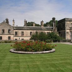
Ilam Park
1.5 km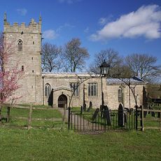
Church of St Bartholomew, Blore
1.5 km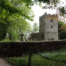
Church of St Leonard
1 km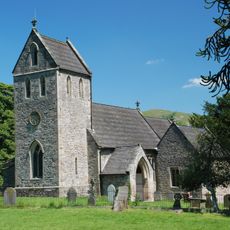
Church of the Holy Cross
1.4 km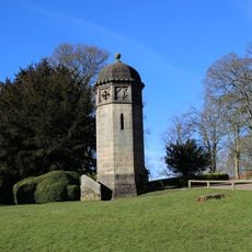
Tower Aproximately 20 Yards North Of Ilam Hall
1.5 km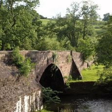
Coldwall Bridge
777 m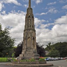
Mrs Watts-Russell Memorial
1.2 km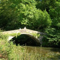
St Bertram's Bridge
1.4 km
Dovedale House
1.3 km
Milestone At Ngr 150 497
804 m
Bridge over River Manifold
1.1 km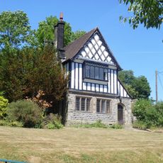
School House
1.3 km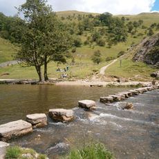
Dovedale Stepping Stones
1 km
Coach House And Stable Block Approximately 20 Yards South West Of Ilam Hall
1.5 km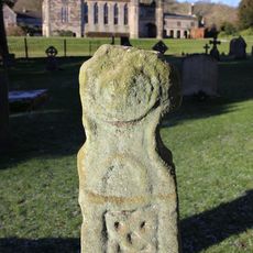
Anglo-Scandinavian cross, 7m south of the south transept of the Church of the Holy Cross
1.4 km
Gate, Gate Piers And Adjoining Walls To Ilam Park
1.3 km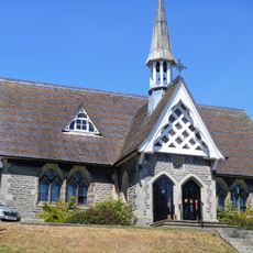
Ilam Church Of England School
1.3 km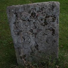
Grave Cover Approximately 20 Yards South Of West Tower Of Church Of Holy Cross
1.4 km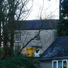
Thorpe House
847 m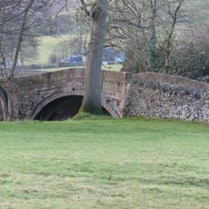
St Marys Bridge
39 m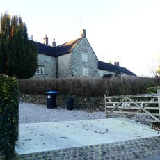
Green Croft Green Gables Green Lea
980 m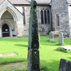
Anglo-Scandinavian cross, 12m south of the south porch of the Church of the Holy Cross
1.4 km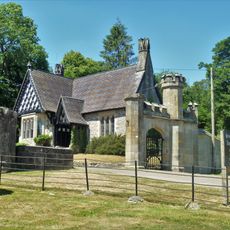
Gatehouse Lodge
1.3 km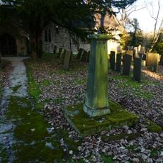
Sundial in churchyard, 10 yards south of south porch
1 km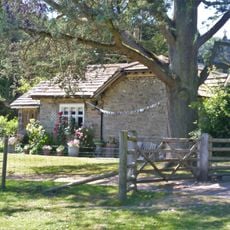
Church Lodge
1.3 km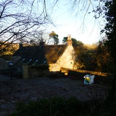
The Old House
1.1 km
Turret, Loggia, Steps And Parapet To Terrace Immediately South South East Of Ilam Hall
1.5 km
Home Farmhouse
1.2 kmReviews
Visited this place? Tap the stars to rate it and share your experience / photos with the community! Try now! You can cancel it anytime.
Discover hidden gems everywhere you go!
From secret cafés to breathtaking viewpoints, skip the crowded tourist spots and find places that match your style. Our app makes it easy with voice search, smart filtering, route optimization, and insider tips from travelers worldwide. Download now for the complete mobile experience.

A unique approach to discovering new places❞
— Le Figaro
All the places worth exploring❞
— France Info
A tailor-made excursion in just a few clicks❞
— 20 Minutes