
Handle Hall, Grade II listed privately owned historic house (and adjoining barn) in Littleborough, Rochdale, Greater Manchester, OL15
Location: Rochdale
Address: Handle Hall, Calderbrook, Littleborough
GPS coordinates: 53.65819,-2.09245
Latest update: March 6, 2025 16:00

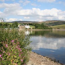
Hollingworth Lake
3.1 km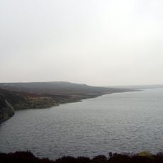
Blackstone Edge Reservoir
3.2 km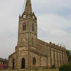
Church of the Holy Trinity
1.6 km
Church of Saint James the Apostle
2.9 km
Church of St. James
276 m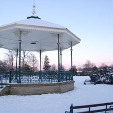
Hare Hill Park Band Stand
1.3 km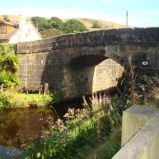
Lane Bottom Bridge
2.9 km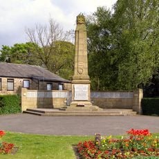
Littleborough War Memorial
1.6 km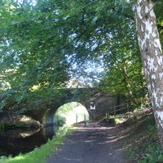
Rochdale Canal Stone House Bridge
2.7 km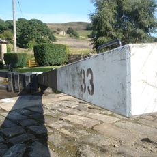
Rochdale Canal Lock 33 Bottomley Lock
2.9 km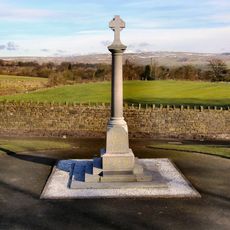
Wardle War Memorial
3.6 km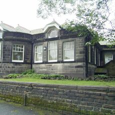
Littleborough Library
1.3 km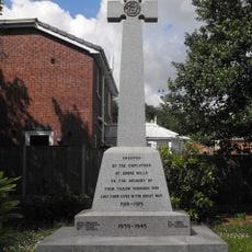
Shore Mill War Memorial
1.4 km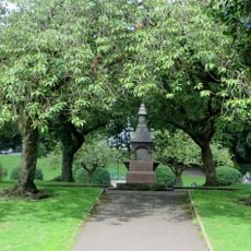
Drinking Fountain At Hare Hill Park
1.4 km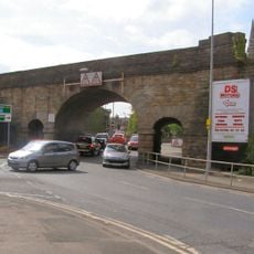
Littleborough Viaduct
1.6 km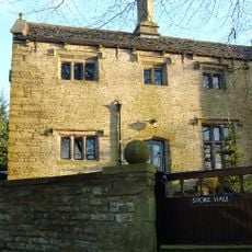
Shore Hall
1.9 km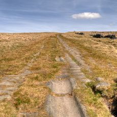
Blackstone Edge Roman road
3.6 km
Steanor Bottom Toll House
1.9 km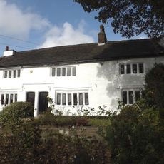
Dearnley Old Hall
2.8 km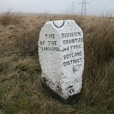
Boundary Stone 200 Metres From Junction With Turvin Road (B6138)
3.7 km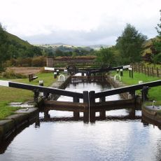
Rochdale Canal Lock 34 Warland Lower Lock And Attached Footbridge
2.4 km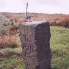
Allescholes Guide Post At Ngr Sd 840 202
2.3 km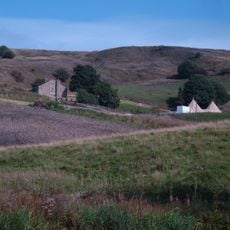
Waterstalls
3.1 km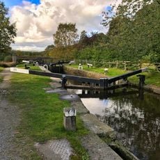
Rochdale Canal Lock 35 Warland Upper Lock
2.3 km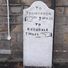
Milestone Next To Number 774 At Ngr Sd 934213
3.4 km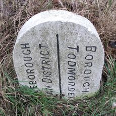
Boundary Stone At Ngr Sd 945198
1.7 km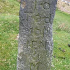
Milestone, Reddyshore Scout Gate, W of A6033
1.9 km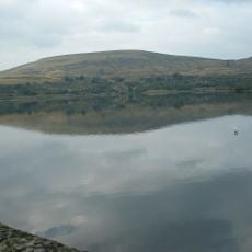
Watergrove Reservoir
3 kmReviews
Visited this place? Tap the stars to rate it and share your experience / photos with the community! Try now! You can cancel it anytime.
Discover hidden gems everywhere you go!
From secret cafés to breathtaking viewpoints, skip the crowded tourist spots and find places that match your style. Our app makes it easy with voice search, smart filtering, route optimization, and insider tips from travelers worldwide. Download now for the complete mobile experience.

A unique approach to discovering new places❞
— Le Figaro
All the places worth exploring❞
— France Info
A tailor-made excursion in just a few clicks❞
— 20 Minutes